Transport Functions
Port
Road
Multimodal
Hub Profile
Place type
Populated place
Region
New York
Population
3,822
Time zone
America/New_York
Elevation
105 m
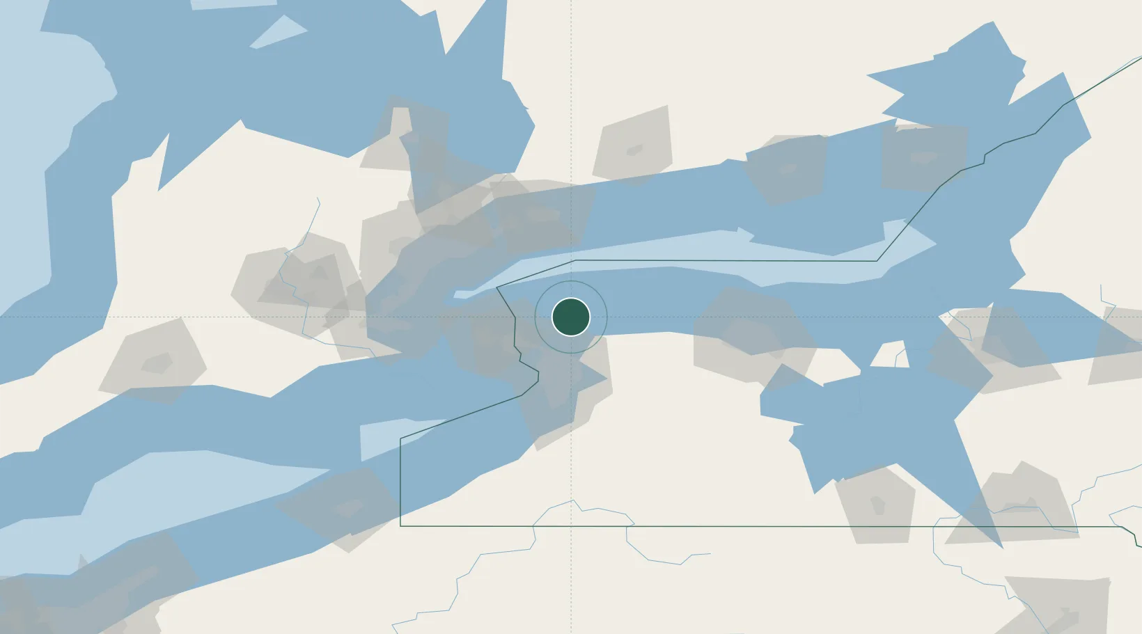
Location
Nearby Logistics Neighbours
Cities
- 1Appleton7 km
- 2Barker14 km
- 3Gasport17 km
- 4Sanborn22 km
- 5Youngstown28 km
Ports
- 1Youngstown27 km
- 2Niagara29 km
- 3Tonawanda31 km
- 4Queenston31 km
- 5Port Weller41 km
Airports
Trade Zones
- 1FTZ No. 034 Niagara County32 km
- 2Niagara Foreign Trade Zone34 km
- 3FTZ No. 023 Buffalo47 km
- 4FTZ No. 141 Monroe County61 km
- 5FTZ No. 289 Ontario County107 km
DatabookThe Record of Consolidated Knowledge
United States beyond logistics?