UN/LOCODE hub · Canada
CAPWE

Port Weller

43.2167°, -79.2167°
2
Transport functions

Transport Functions

Port
Road
Port Weller is also a profiled seaport →
UN/LOCODE

Hub Profile

Place type
Populated place
GeoNames
Region
Ontario
GeoNames
Time zone
America/Toronto
GeoNames
Elevation
86 m
GeoNames

Location

Location of CAPWE
Natural Earth 10m (public domain) · Ontario · CAPWE · 43.22, -79.22GoogleOSMYandex

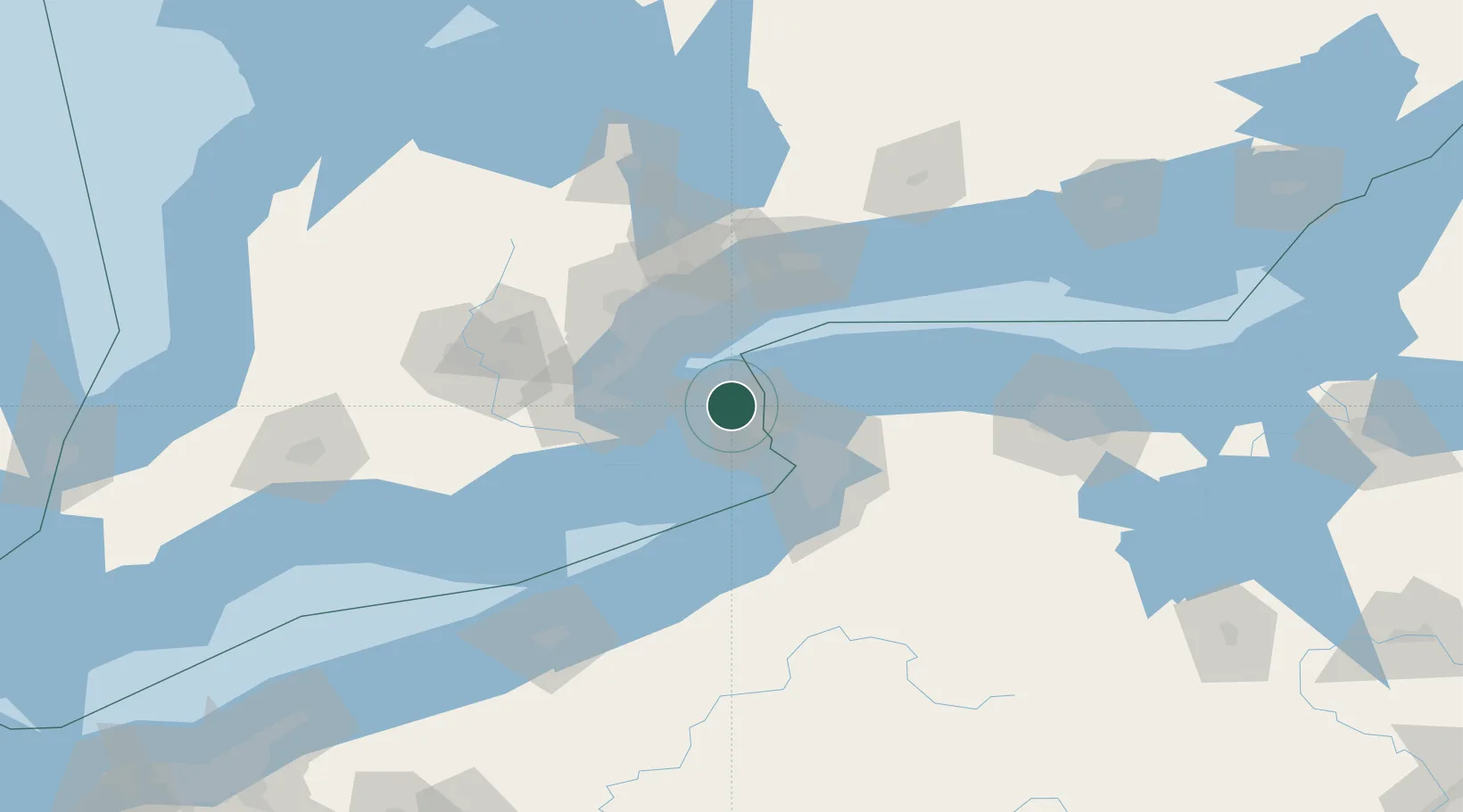
Nearby Logistics Neighbours

Cities
  1. 1Saint-Catharines6 km
  2. 2Niagara-on-the-Lake13 km
  3. 3Youngstown14 km
  4. 4Sanborn29 km
  5. 5Grimsby29 km
Nearest neighbours — logibook spatial index (haversine) over the source coordinates
Ports
  1. 1St Catherine7 km
  2. 2Niagara13 km
  3. 3Queenston13 km
  4. 4Youngstown14 km
  5. 5Welland24 km
Nearest neighbours — logibook spatial index (haversine) over the source coordinates
Airports
  1. 1Niagara District Airport5 km
  2. 2Niagara Falls International Airport25 km
  3. 3Billy Bishop Toronto City Airport48 km
  4. 4Buffalo Niagara International Airport50 km
  5. 5John C. Munro Hamilton International Airport58 km
Nearest neighbours — logibook spatial index (haversine) over the source coordinates
Trade Zones
  1. 1FTZ No. 034 Niagara County15 km
  2. 2Niagara Foreign Trade Zone20 km
  3. 3FTZ No. 023 Buffalo47 km
  4. 4FTZ No. 141 Monroe County102 km
  5. 5FTZ No. 289 Ontario County142 km
Nearest neighbours — logibook spatial index (haversine) over the source coordinates
DatabookThe Record of Consolidated Knowledge
Canada beyond logistics?
Browse databook

All Sources

LocationsUN/LOCODE
UN/LOCODE — free
Portsthe NGA World Port Index
Public domain (US gov)
AirportsOurAirports
Public domain
Trade Zonesthe World Bank SEZ database
CC BY 4.0
Trade ZonesOpen Zone Map
CC BY
← Canada locations