Transport Functions
Port
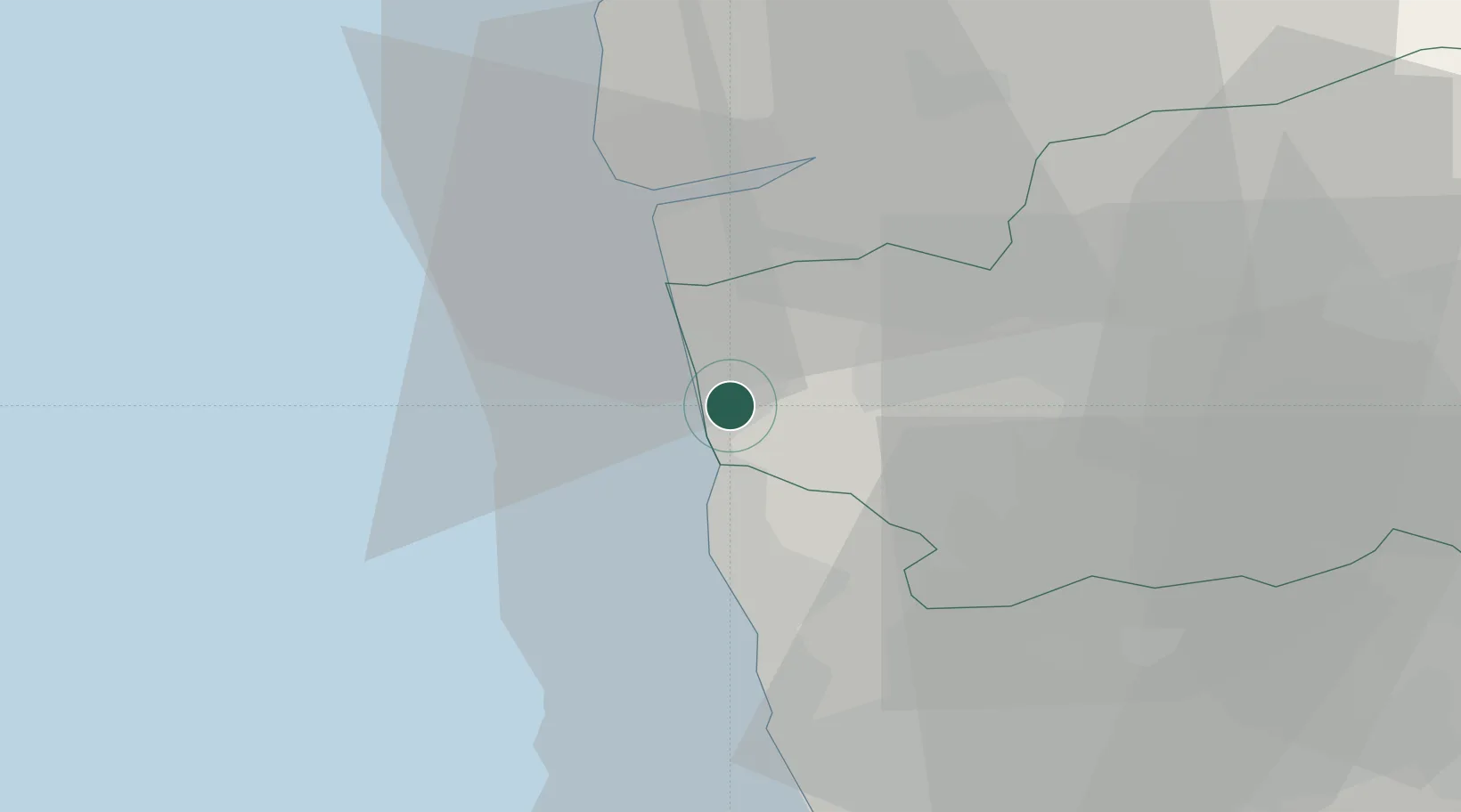
Location
Nearby Logistics Neighbours
Cities
- 1Laundos10 km
- 2Barcelos13 km
- 3Amorim13 km
- 4Castelo do Neiva13 km
- 5Póvoa de Varzim15 km
Ports
- 1Viana Do Castelo21 km
- 2Porto De Leixoes38 km
- 3Oporto42 km
- 4Vigo80 km
- 5Aveiro97 km
Airports
- 1Braga Municipal Aerodrome28 km
- 2Francisco de Sá Carneiro Airport31 km
- 3Vilar de Luz Airfield34 km
- 4Ovar Air Base68 km
- 5Vigo Airport80 km
Trade Zones
DatabookThe Record of Consolidated Knowledge
Portugal beyond logistics?