UN/LOCODE hub · Portugal
PTVDC
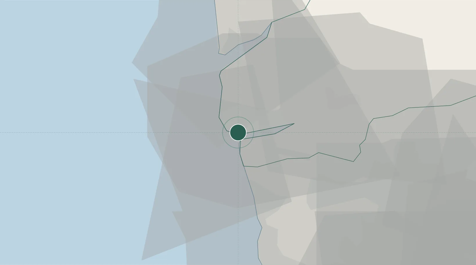
Viana do Castelo
41.7000°, -8.8333°
36,148
Population
3
Transport functions
Transport Functions
Port
Rail
Road
Hub Profile
Place type
Regional capital
Region
Viana do Castelo
Population
36,148
Time zone
Europe/Lisbon
Elevation
12 m
Location
Nearby Logistics Neighbours
Cities
- 1Carreço6 km
- 2Castelo do Neiva8 km
- 3Vila Praia de Ancora13 km
- 4Caminha19 km
- 5Fão21 km
Ports
- 1Porto De Leixoes59 km
- 2Vigo60 km
- 3Oporto63 km
- 4Marin79 km
- 5Villagarcia De Arosa100 km
Airports
- 1Braga Municipal Aerodrome35 km
- 2Francisco de Sá Carneiro Airport52 km
- 3Vilar de Luz Airfield54 km
- 4Vigo Airport62 km
- 5Ovar Air Base89 km
Trade Zones
DatabookThe Record of Consolidated Knowledge
Portugal beyond logistics?