Seaport · Kiribati
Tarawa AtollKITRW
1.3333°, 172.9333°
7.9 m
Channel depth
25.2
Port liner connectivity
Channel & Berth Profile
Pilotage, Tugs & Services
Pilotage availableYES
Pilotage advisableYES
Tug assistanceYES
Potable waterYES
Diesel bunkersNO
MedicalYES
Garbage disposalYES
Facilities & Capabilities
Container—
Ro-Ro—
Liquid bulk—
Dry bulk—
Oil terminal—
Break bulk—
Dry dock—
RepairsNO
BunkeringYES
Rail link—
Dangerous cargo—
ISPS security—
Harbour Specifications
Harbour size
Very Small
Harbour type
Open Roadstead
Shelter
Fair
Water body
North Pacific Ocean
Tidal range
0.9 m
Liner Connectivity
25.2
PLSCI
Port Liner Shipping Connectivity Index for Tarawa Atoll, as published by UNCTAD for the latest available quarter. Higher values indicate stronger scheduled liner-shipping integration.
Shown relative to the highest per-port PLSCI in the dataset (1,657.9).
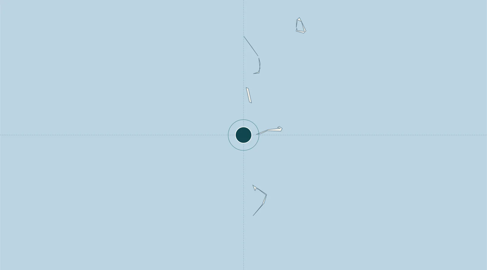
Location
Nearby Logistics Neighbours
Ports
- 1Majuro Atoll662 km
- 2Nauru700 km
- 3Kwajalein1003 km
- 4Funafuti Atoll1293 km
- 5Enitwetak Island1614 km
Cities
- 1Majuro664 km
- 2Nauru Island701 km
- 3Lata1555 km
- 4Nemba1565 km
- 5Ngatik1808 km
Airports
- 1Bonriki International Airport24 km
- 2Aranuka Airport150 km
- 3Butaritari Airport195 km
- 4Tabiteuea North Airport351 km
- 5Enejit Airport534 km
Trade Zones
- 1Tulagi Island Special Economic Zone1832 km
- 2Vanuatu Economic Development Zone1977 km
- 3Vanua Levu Tax-Free Region2105 km
- 4Savusavu Industrial Zone2133 km
- 5Bana (Bougainville) Special Economic Zone2159 km
DatabookThe Record of Consolidated Knowledge
Kiribati beyond logistics?