UN/LOCODE hub · Marshall Islands
MHMAJ
Majuro
7.1000°, 171.3833°
25,400
Population
2
Transport functions
Transport Functions
Port
Airport
Hub Profile
Place type
National capital
Region
Majuro Atoll
Population
25,400
Time zone
Pacific/Majuro
Elevation
6 m
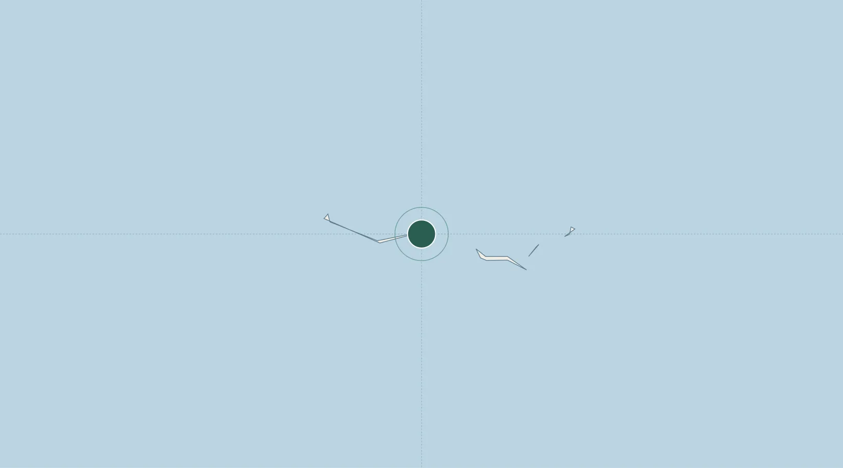
Location
Nearby Logistics Neighbours
Cities
- 1Nauru Island984 km
- 2Ngatik1566 km
- 3Lukunor Atoll1955 km
- 4Lata2075 km
- 5Nemba2084 km
Ports
- 1Kwajalein440 km
- 2Tarawa Atoll664 km
- 3Nauru983 km
- 4Enitwetak Island1099 km
- 5Pohnpei Harbor1455 km
Airports
- 1Marshall Islands International Airport13 km
- 2Aur Island Airport119 km
- 3Mili Island Airport119 km
- 4Enejit Airport135 km
- 5Jaluit Airport234 km
Trade Zones
- 1Tulagi Island Special Economic Zone2191 km
- 2Bana (Bougainville) Special Economic Zone2300 km
- 3Vanuatu Economic Development Zone2556 km
- 4An County Industrial Park2719 km
- 5Vanua Levu Tax-Free Region2768 km
DatabookThe Record of Consolidated Knowledge
Marshall Islands beyond logistics?