Transport Functions
Rail
Road
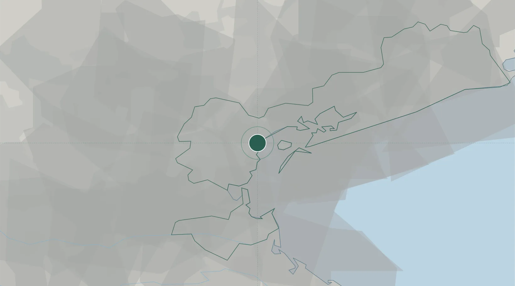
Hub Profile
Region
VE
Location
Nearby Logistics Neighbours
Cities
- 1Venezia2 km
- 2Marghera3 km
- 3Fusina4 km
- 4Malcontenta4 km
- 5Carpenedo6 km
Ports
- 1Porto Di Lido-Venezia15 km
- 2Porto Di Chioggia24 km
- 3Nogaro79 km
- 4Porto Garibaldi86 km
- 5Grado86 km
Airports
- 1Venice Marco Polo Airport10 km
- 2Treviso Airport23 km
- 3Istrana Air Base29 km
- 4Padova Gino Allegri Airfield32 km
- 5Aviano Air Base70 km
Trade Zones
DatabookThe Record of Consolidated Knowledge
Italy beyond logistics?