UN/LOCODE hub · Italy
ITFSA

Fusina

45.4167°, 12.2333°
2
Transport functions

Transport Functions

Port
Road
UN/LOCODE

Hub Profile

Place type
Populated place
GeoNames
Region
Veneto
GeoNames
Time zone
Europe/Rome
GeoNames
Elevation
1 m
GeoNames

Location

Location of ITFSA
Natural Earth 10m (public domain) · Veneto · ITFSA · 45.42, 12.23GoogleOSMYandex

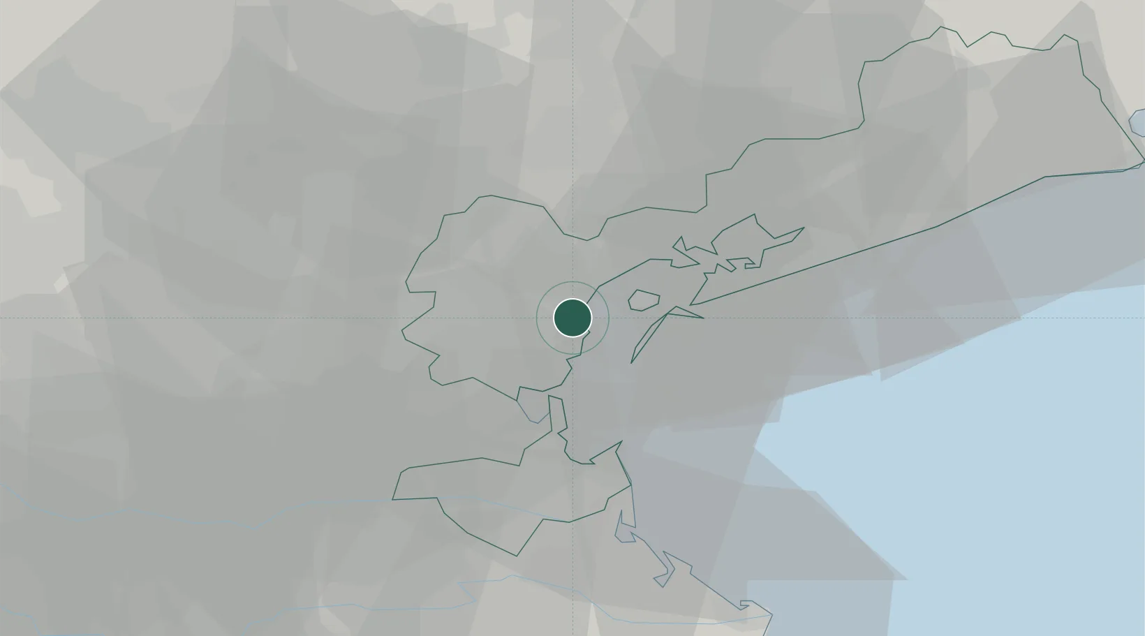
Nearby Logistics Neighbours

Cities
  1. 1Malcontenta3 km
  2. 2Marghera4 km
  3. 3Porto Marghera4 km
  4. 4Venezia4 km
  5. 5Oriago6 km
Nearest neighbours — logibook spatial index (haversine) over the source coordinates
Ports
  1. 1Porto Di Lido-Venezia16 km
  2. 2Porto Di Chioggia21 km
  3. 3Nogaro82 km
  4. 4Porto Garibaldi82 km
  5. 5Grado89 km
Nearest neighbours — logibook spatial index (haversine) over the source coordinates
Airports
  1. 1Venice Marco Polo Airport14 km
  2. 2Treviso Airport26 km
  3. 3Padova Gino Allegri Airfield30 km
  4. 4Istrana Air Base32 km
  5. 5Aviano Air Base74 km
Nearest neighbours — logibook spatial index (haversine) over the source coordinates
Trade Zones
  1. 1Free Port of Venice6 km
  2. 2Consorzio Zona Industriale e Porto Fluviale di Padova24 km
  3. 3Free Port of Trieste121 km
  4. 4Port of Pula Free Zone140 km
  5. 5Port of Rijeka Free Zone161 km
Nearest neighbours — logibook spatial index (haversine) over the source coordinates
DatabookThe Record of Consolidated Knowledge
Italy beyond logistics?
Browse databook

All Sources

LocationsUN/LOCODE
UN/LOCODE — free
Portsthe NGA World Port Index
Public domain (US gov)
AirportsOurAirports
Public domain
Trade Zonesthe World Bank SEZ database
CC BY 4.0
Trade ZonesOpen Zone Map
CC BY
← Italy locations