UN/LOCODE hub · Italy
ITVCE
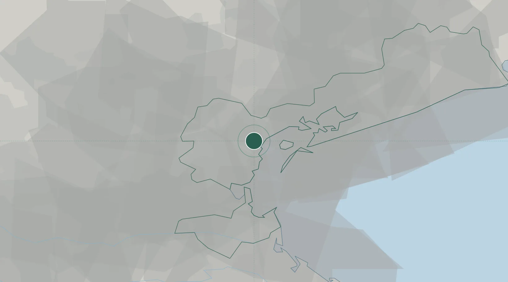
Venezia
45.4561°, 12.2305°
23
Population
6
Transport functions
2
Container terminals
Transport Functions
Port
Rail
Road
Airport
Border Crossing
Postal
Hub Profile
Place type
Populated place
Region
Veneto
Population
23
Time zone
Europe/Rome
Elevation
60 m
Logistics facilities
22
Container terminals
2
Location
Nearby Logistics Neighbours
Cities
- 1Marghera1 km
- 2Porto Marghera2 km
- 3Malcontenta4 km
- 4Fusina4 km
- 5Oriago5 km
Ports
- 1Porto Di Chioggia25 km
- 2Nogaro80 km
- 3Porto Garibaldi87 km
- 4Grado87 km
- 5Umag100 km
Airports
- 1Venice Marco Polo Airport11 km
- 2Treviso Airport22 km
- 3Istrana Air Base28 km
- 4Padova Gino Allegri Airfield31 km
- 5Aviano Air Base70 km
Trade Zones
DatabookThe Record of Consolidated Knowledge
Italy beyond logistics?