Transport Functions
Rail
Road
Hub Profile
Place type
Populated place
Region
Veneto
Time zone
Europe/Rome
Elevation
1 m
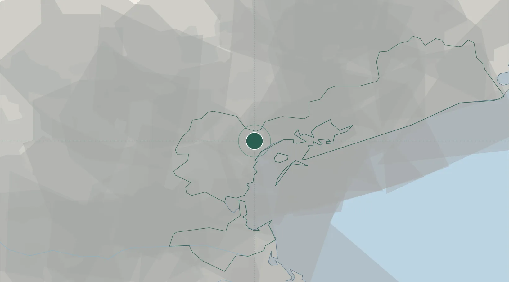
Location
Nearby Logistics Neighbours
Cities
- 1Venezia5 km
- 2Porto Marghera6 km
- 3Marghera6 km
- 4Spinea7 km
- 5Gardigiano8 km
Ports
- 1Porto Di Lido-Venezia17 km
- 2Porto Di Chioggia30 km
- 3Nogaro77 km
- 4Grado84 km
- 5Porto Garibaldi92 km
Airports
- 1Venice Marco Polo Airport8 km
- 2Treviso Airport17 km
- 3Istrana Air Base24 km
- 4Padova Gino Allegri Airfield34 km
- 5Aviano Air Base65 km
Trade Zones
DatabookThe Record of Consolidated Knowledge
Italy beyond logistics?