Transport Functions
Rail
Road
Hub Profile
Place type
District seat
Region
Lazio
Population
10,005
Time zone
Europe/Rome
Elevation
151 m
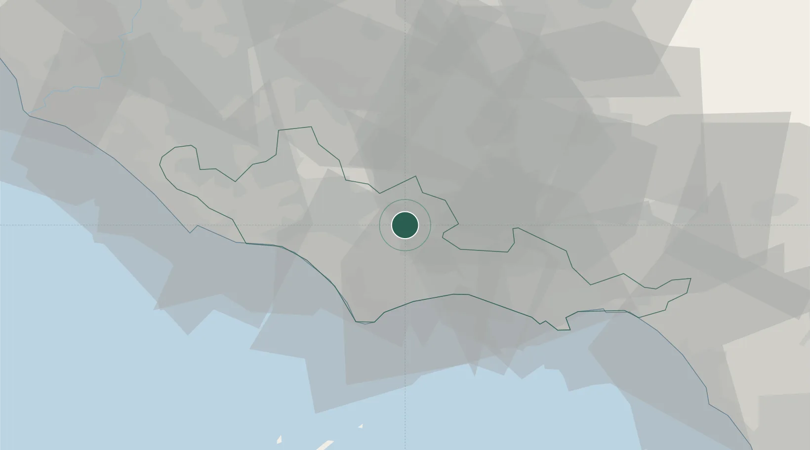
Location
Nearby Logistics Neighbours
Cities
- 1Prossedi9 km
- 2Ceccano18 km
- 3Borgo Piave25 km
- 4San Felice Circeo27 km
- 5San Giovanni Incarico32 km
Ports
- 1Terracina22 km
- 2San Felice Circeo27 km
- 3Gaeta44 km
- 4Formia44 km
- 5Anzio - Nettuno44 km
Airports
- 1Latina Air Base23 km
- 2Ciampino–G. B. Pastine International Airport60 km
- 3Pratica Di Mare Air Base64 km
- 4Guidonia Air Base68 km
- 5Rome Urbe Airport77 km
DatabookThe Record of Consolidated Knowledge
Italy beyond logistics?