Transport Functions
Port
Hub Profile
Place type
District seat
Region
Lazio
Population
19,936
Time zone
Europe/Rome
Elevation
2 m
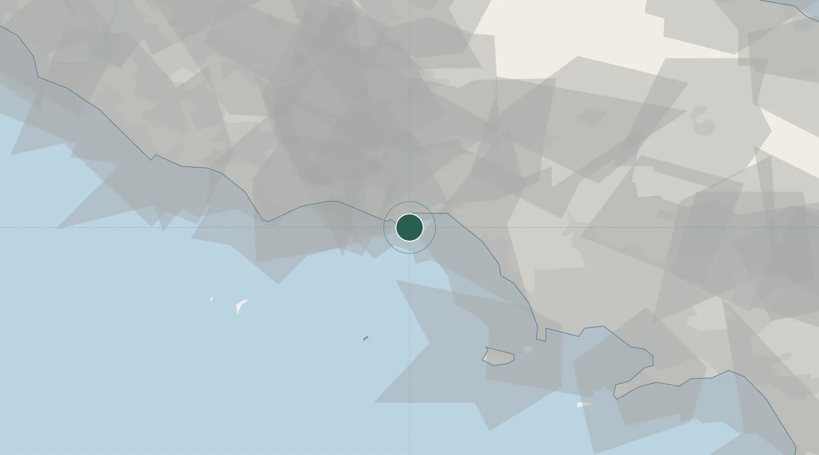
Location
Nearby Logistics Neighbours
Cities
- 1Formia6 km
- 2Scauri11 km
- 3Sperlonga14 km
- 4Spigno Saturnia16 km
- 5Tufo17 km
Ports
- 1Formia7 km
- 2Terracina29 km
- 3San Felice Circeo41 km
- 4Forio56 km
- 5Casamicciola57 km
Airports
DatabookThe Record of Consolidated Knowledge
Italy beyond logistics?