UN/LOCODE hub · Italy
ITSFE
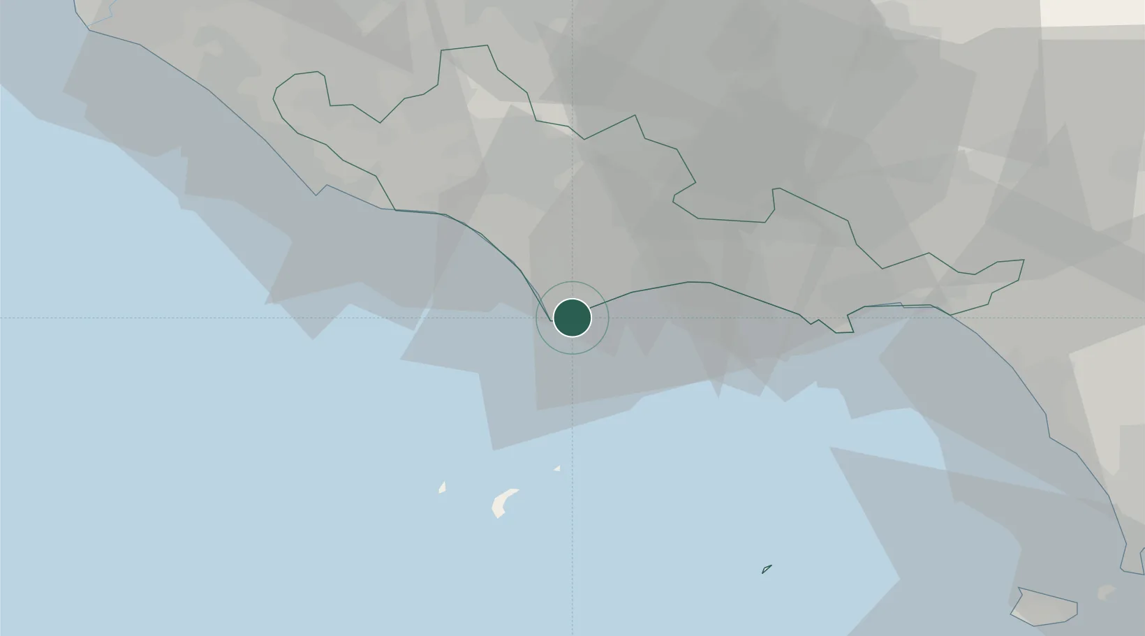
San Felice Circeo
41.2333°, 13.0833°
6,497
Population
2
Transport functions
Transport Functions
Port
Road
Hub Profile
Place type
District seat
Region
Lazio
Population
6,497
Time zone
Europe/Rome
Elevation
98 m
Location
Nearby Logistics Neighbours
Cities
- 1Priverno27 km
- 2Sperlonga29 km
- 3Borgo Piave33 km
- 4Prossedi34 km
- 5Ponza38 km
Ports
- 1Terracina16 km
- 2Ponza39 km
- 3Gaeta41 km
- 4Anzio - Nettuno44 km
- 5Formia44 km
Airports
- 1Latina Air Base37 km
- 2Pratica Di Mare Air Base71 km
- 3Ciampino–G. B. Pastine International Airport75 km
- 4Grazzanise Air Base86 km
- 5Guidonia Air Base89 km
DatabookThe Record of Consolidated Knowledge
Italy beyond logistics?