Transport Functions
Port
Road
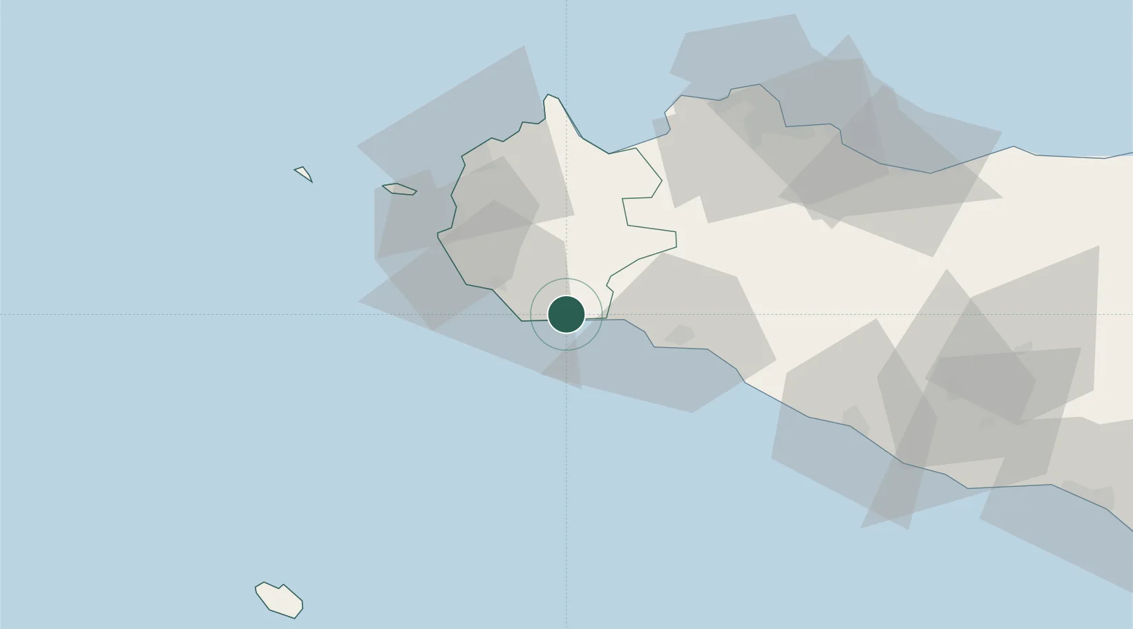
Location
Nearby Logistics Neighbours
Cities
- 1Campobello di Mazara6 km
- 2Porto Palo10 km
- 3Partanna17 km
- 4Mazara del Vallo19 km
- 5Sciacca25 km
Ports
- 1Mazara Del Vallo18 km
- 2Sciacca27 km
- 3Marsala38 km
- 4Castellammare Del Golfo51 km
- 5Trapani54 km
Airports
- 1Vincenzo Florio Airport Trapani-Birgi45 km
- 2Falcone–Borsellino Airport71 km
- 3Palermo-Boccadifalco Airport75 km
- 4Pantelleria Airport112 km
- 5Comiso Airport174 km
Trade Zones
DatabookThe Record of Consolidated Knowledge
Italy beyond logistics?