UN/LOCODE hub · Italy
ITMAZ
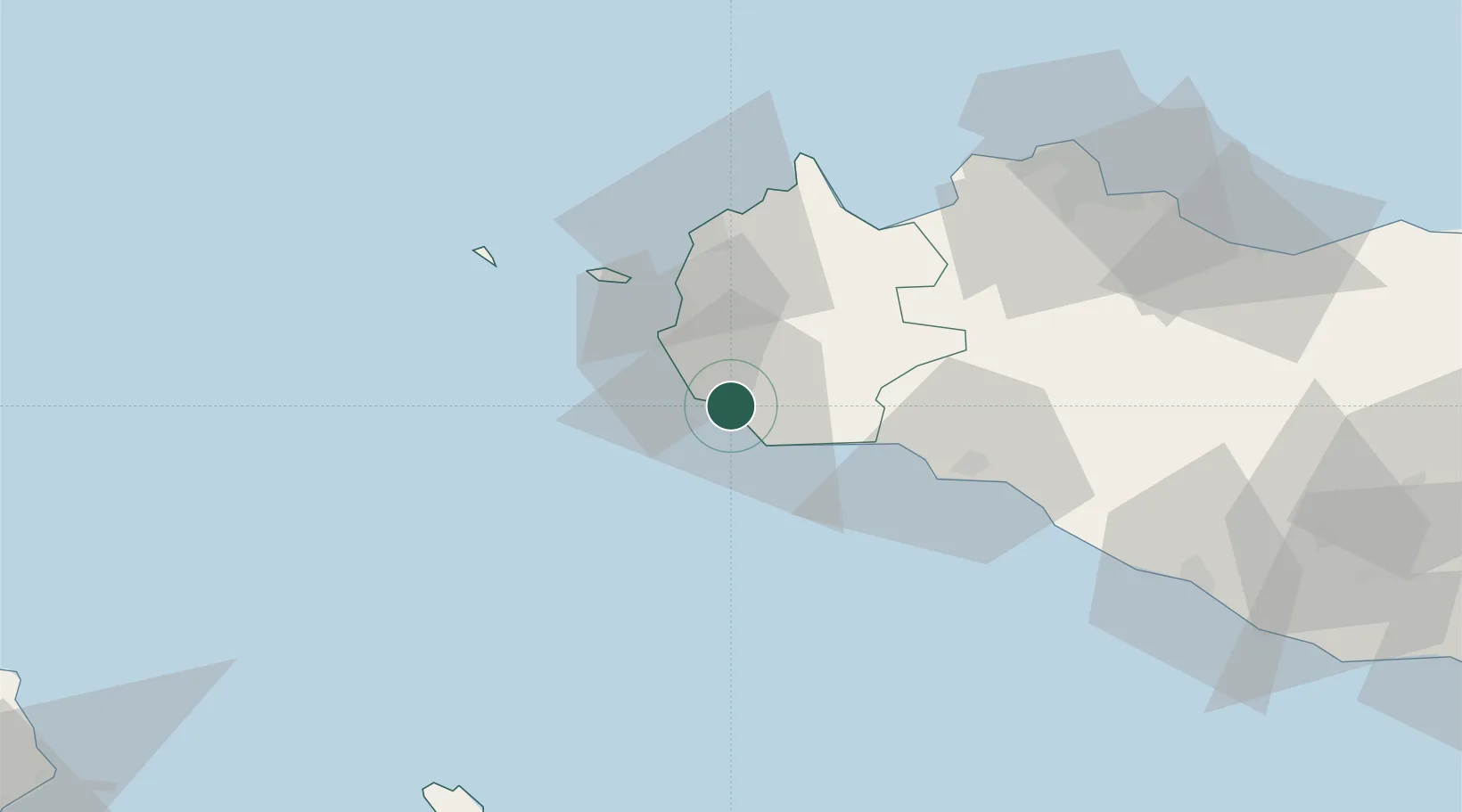
Mazara del Vallo
37.6500°, 12.5833°
51,534
Population
2
Transport functions
Transport Functions
Port
Road
Hub Profile
Place type
District seat
Region
Sicily
Population
51,534
Time zone
Europe/Rome
Elevation
8 m
Location
Nearby Logistics Neighbours
Cities
- 1Petrosino12 km
- 2Campobello di Mazara15 km
- 3Marinella di Selinunte19 km
- 4Marsala21 km
- 5Partanna27 km
Airports
- 1Vincenzo Florio Airport Trapani-Birgi30 km
- 2Falcone–Borsellino Airport74 km
- 3Palermo-Boccadifalco Airport82 km
- 4Pantelleria Airport108 km
- 5Comiso Airport193 km
Trade Zones
DatabookThe Record of Consolidated Knowledge
Italy beyond logistics?