Transport Functions
Port
Road
Hub Profile
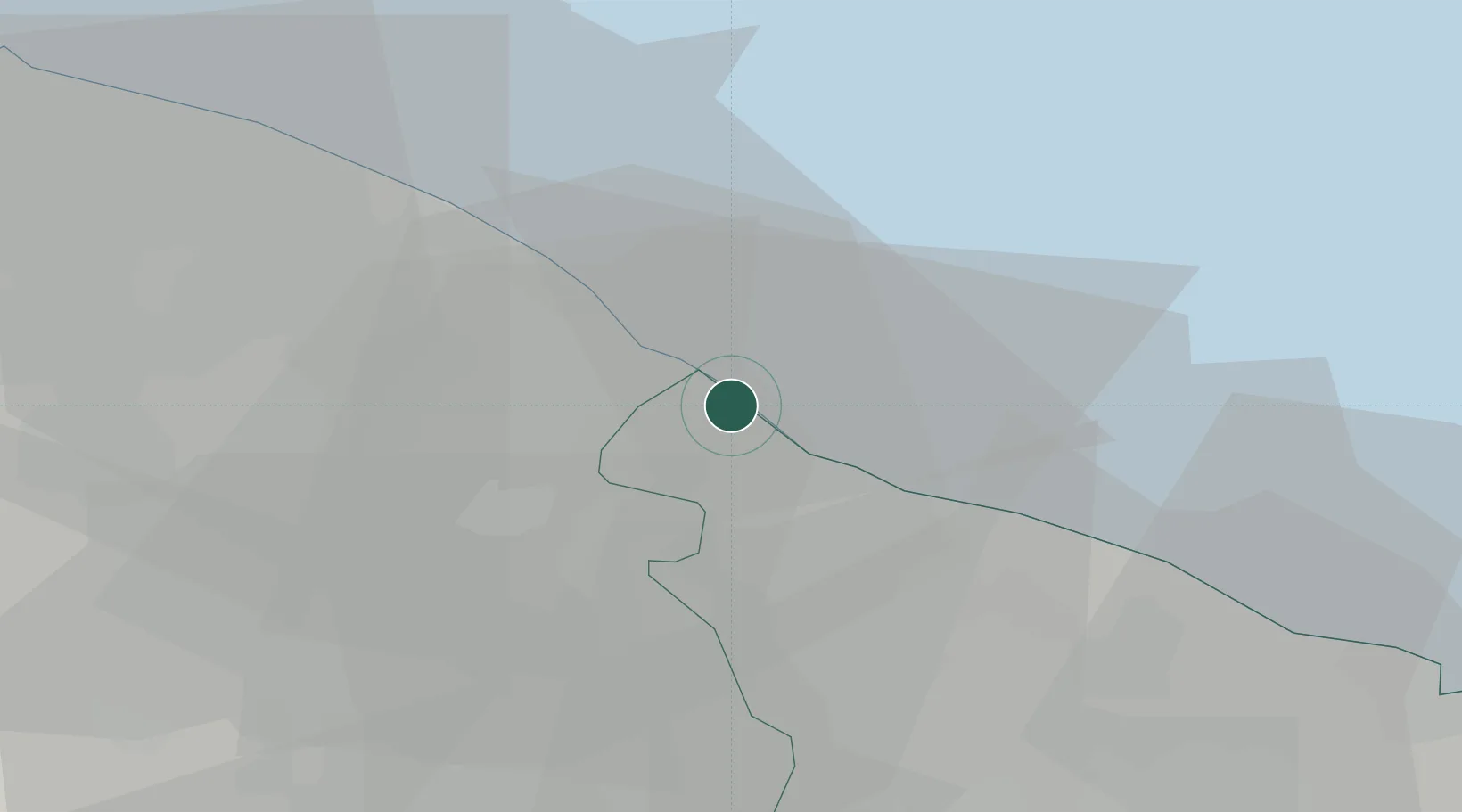
Place type
Populated place
Region
Apulia
Population
682
Time zone
Europe/Rome
Elevation
3 m
Location
Nearby Logistics Neighbours
Cities
- 1Fasano6 km
- 2Locorotondo15 km
- 3Alberobello16 km
- 4Martina Franca20 km
- 5Castellana Grotte21 km
Ports
- 1Monopoli13 km
- 2Mola Di Bari34 km
- 3Taranto48 km
- 4Brindisi54 km
- 5Bari57 km
Airports
DatabookThe Record of Consolidated Knowledge
Italy beyond logistics?