Transport Functions
Port
Hub Profile
Place type
Populated place
Region
Santa Elena
Population
43,862
Time zone
America/Guayaquil
Elevation
12 m
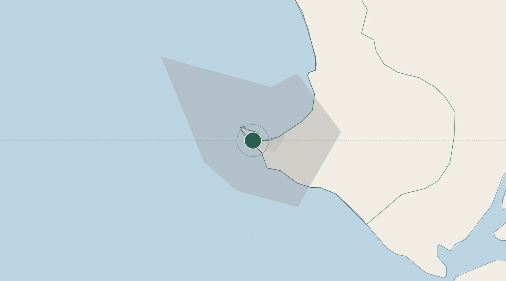
Location
Nearby Logistics Neighbours
Cities
- 1La Libertad8 km
- 2Santa Elena13 km
- 3Zapotal49 km
- 4Playas80 km
- 5Milagro82 km
Ports
- 1La Libertad6 km
- 2Puerto Maritimo De Guayaquil119 km
- 3Guayaquil120 km
- 4Manta144 km
- 5Puerto Bolivar159 km
Airports
Trade Zones
- 1DP World Posorja96 km
- 2Posorja ZofraPort SA Free Zone96 km
- 3Zona Franca Esmeraldas116 km
- 4Contecon Guayaquil Free Zone118 km
- 5Zona Franca Manabí139 km
DatabookThe Record of Consolidated Knowledge
Ecuador beyond logistics?