UN/LOCODE hub · Algeria
DZALG
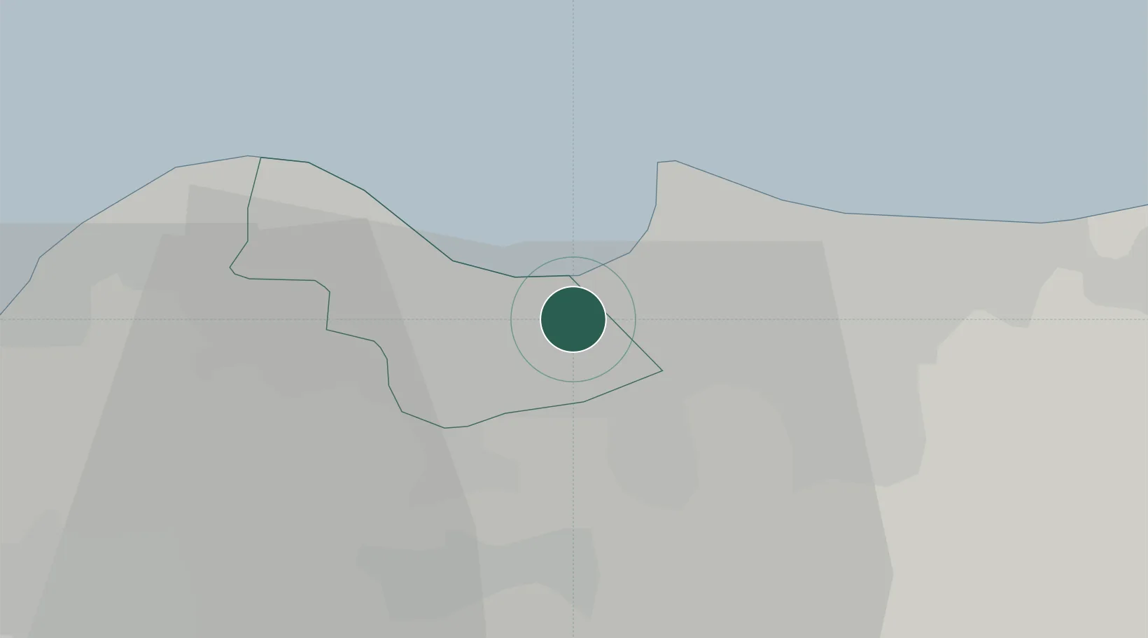
Alger (Algiers)
36.7163°, 3.1755°
6
Transport functions
2
Container terminals
Transport Functions
Port
Rail
Road
Airport
Multimodal
Postal
Hub Profile
Region
16
Logistics facilities
38
Container terminals
2
Location
Nearby Logistics Neighbours
Cities
- 1El Hamiz6 km
- 2Kouba8 km
- 3Rouiba10 km
- 4El Mouradia12 km
- 5Ain Taya12 km
Airports
Trade Zones
- 1Depósito Franco de Alicante370 km
- 2Depósito Franco de Valencia431 km
- 3Depósito Franco de Tarragona517 km
- 4Zona Franca de Barcelona522 km
- 5Berkane Agro-Pole533 km
DatabookThe Record of Consolidated Knowledge
Algeria beyond logistics?