Transport Functions
Road
Multimodal
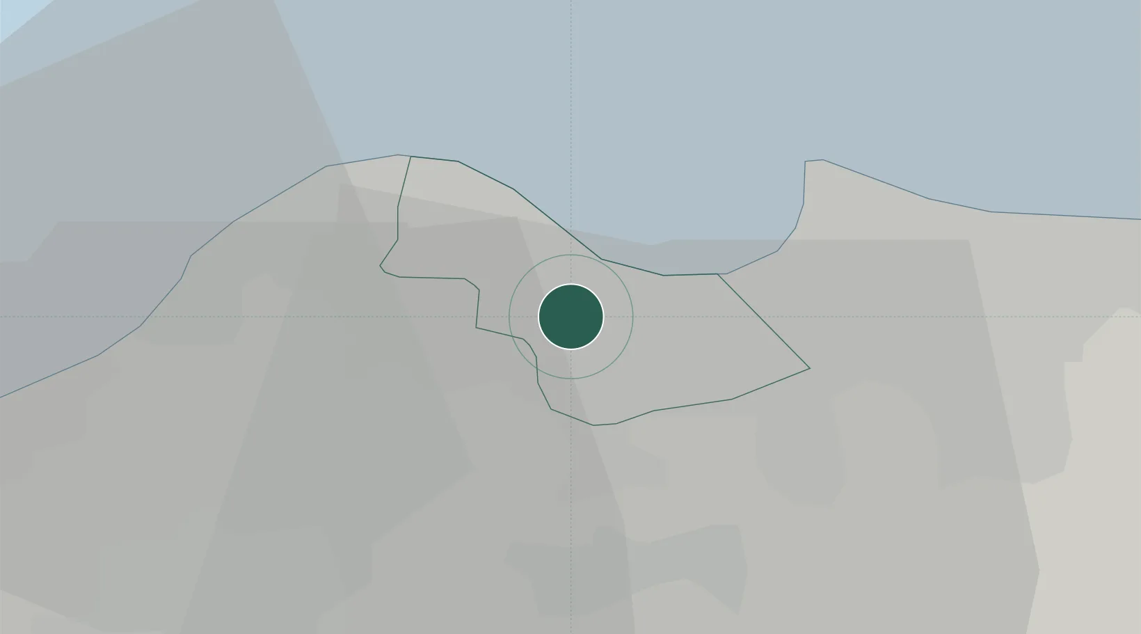
Hub Profile
Place type
Urban district
Region
Algiers
Time zone
Africa/Algiers
Elevation
124 m
Location
Nearby Logistics Neighbours
Cities
- 1El Mouradia5 km
- 2Hydra7 km
- 3Alger (Algiers)8 km
- 4El Hamiz14 km
- 5'Aïn Benian18 km
Airports
- 1Houari Boumediene Airport12 km
- 2Boufarik Air Base27 km
- 3Blida Airport34 km
- 4Chlef Aboubakr Belkaid International Airport165 km
- 5Soummam–Abane Ramdane Airport177 km
Trade Zones
- 1Depósito Franco de Alicante363 km
- 2Depósito Franco de Valencia425 km
- 3Depósito Franco de Tarragona514 km
- 4Zona Franca de Barcelona520 km
- 5Berkane Agro-Pole526 km
DatabookThe Record of Consolidated Knowledge
Algeria beyond logistics?