Transport Functions
Rail
Road
Hub Profile
Place type
Provincial seat
Region
Valparaíso
Population
67,779
Time zone
America/Santiago
Elevation
128 m
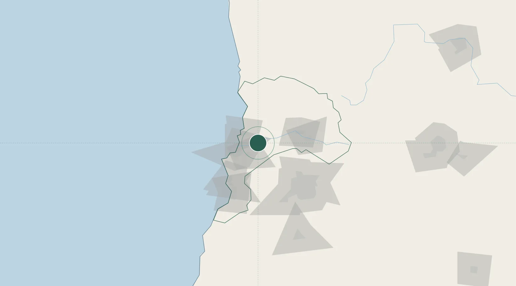
Location
Nearby Logistics Neighbours
Cities
- 1Limache11 km
- 2La Calera14 km
- 3Villa Alemana19 km
- 4Quilpué23 km
- 5Ventanas26 km
Ports
- 1Bahia Quintero (Ventanas)28 km
- 2Bahia De Valparaiso37 km
- 3Puerto San Antonio84 km
- 4Bahia Herradura Guayacan325 km
- 5Coquimbo326 km
Airports
Trade Zones
DatabookThe Record of Consolidated Knowledge
Chile beyond logistics?