Transport Functions
Port
Road
Hub Profile
Place type
Urban district
Region
Atacama
Time zone
America/Santiago
Elevation
381 m
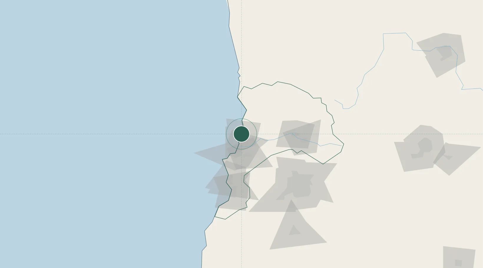
Location
Nearby Logistics Neighbours
Cities
- 1Quintero6 km
- 2Quillota26 km
- 3Viña del Mar29 km
- 4La Calera29 km
- 5Limache34 km
Ports
- 1Bahia Quintero (Ventanas)6 km
- 2Bahia De Valparaiso36 km
- 3Puerto San Antonio95 km
- 4Bahia Herradura Guayacan308 km
- 5Coquimbo310 km
Airports
Trade Zones
DatabookThe Record of Consolidated Knowledge
Chile beyond logistics?