UN/LOCODE hub · Chile
CLCBC

Calbuco

-41.7500°, -73.1333°
32,963
Population
2
Transport functions

Transport Functions

Port
Road
UN/LOCODE

Hub Profile

Place type
Populated place
GeoNames
Region
Los Lagos Region
GeoNames
Population
32,963
GeoNames
Time zone
America/Santiago
GeoNames
Elevation
38 m
GeoNames

Location

Location of CLCBC
Natural Earth 10m (public domain) · Los Lagos Region · CLCBC · -41.75, -73.13GoogleOSMYandex

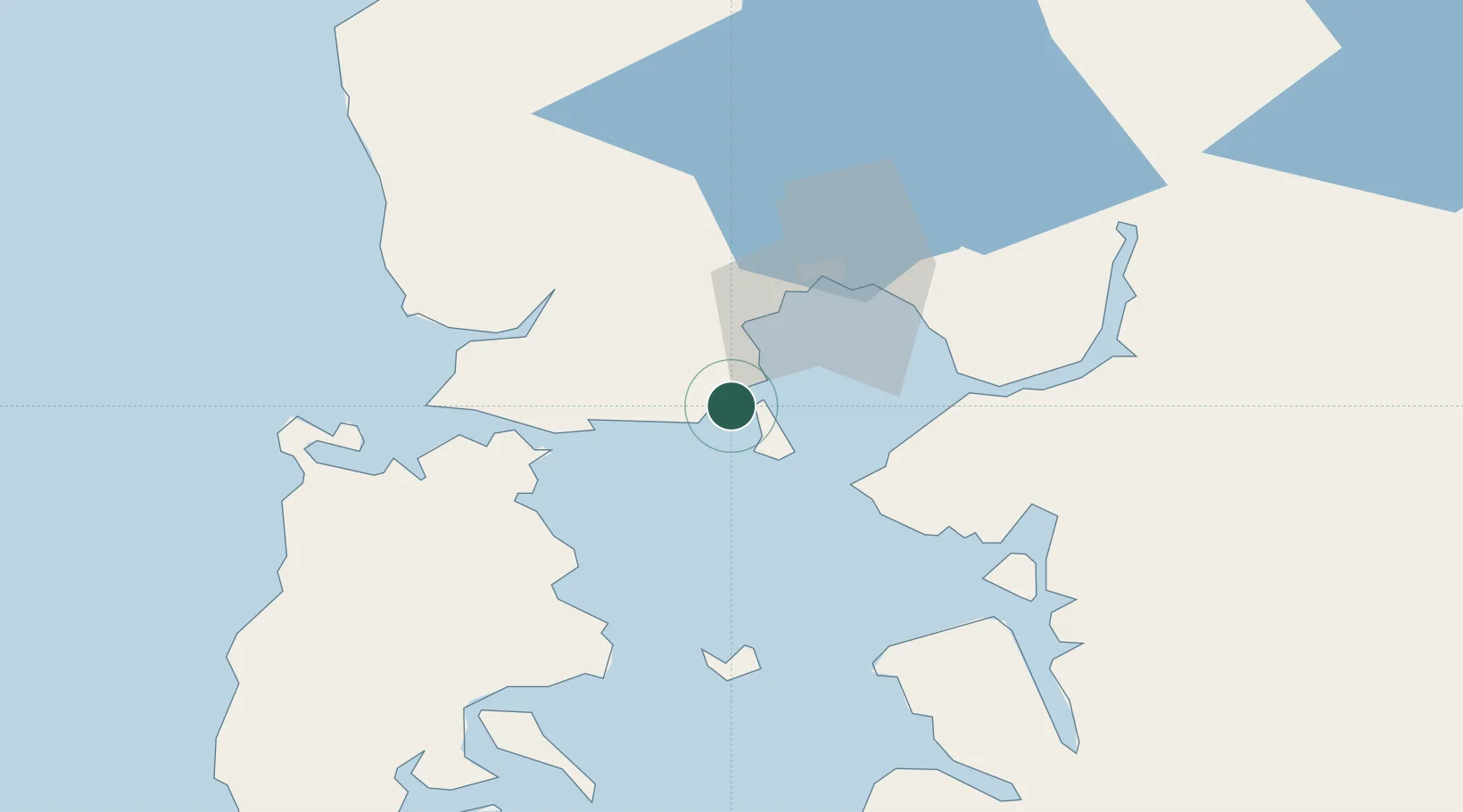
Nearby Logistics Neighbours

Cities
  1. 1Pargua26 km
  2. 2Puerto Montt32 km
  3. 3Chacao34 km
  4. 4Maullín40 km
  5. 5Hualaihué48 km
Nearest neighbours — logibook spatial index (haversine) over the source coordinates
Ports
  1. 1Puerto Montt33 km
  2. 2Puerto Quemchi53 km
  3. 3Puerto Castro97 km
  4. 4Puerto De Corral211 km
  5. 5Bahia De Valdivia217 km
Nearest neighbours — logibook spatial index (haversine) over the source coordinates
Airports
  1. 1El Tepual International Airport34 km
  2. 2Mocopulli Airport81 km
  3. 3Nuevo Chaitén Airport117 km
  4. 4Cañal Bajo Carlos Hott Siebert Airport127 km
  5. 5El Bolsón Airfield134 km
Nearest neighbours — logibook spatial index (haversine) over the source coordinates
Trade Zones
  1. 1Zona Franca Zapala (Zapala Free Trade Zone)410 km
  2. 2Comodoro Free Trade Zone641 km
  3. 3Comodoro Free Trade Zone Zona Franca Chubut643 km
  4. 4La Zona Franca Santa Cruz (ZFSC) - Caleta Olivia690 km
  5. 5Zona Franca Bahía Blanca981 km
Nearest neighbours — logibook spatial index (haversine) over the source coordinates
DatabookThe Record of Consolidated Knowledge
Chile beyond logistics?
Browse databook

All Sources

LocationsUN/LOCODE
UN/LOCODE — free
LocationsGeoNames
CC BY 4.0
Portsthe NGA World Port Index
Public domain (US gov)
AirportsOurAirports
Public domain
Trade Zonesthe World Bank SEZ database
CC BY 4.0
Trade ZonesOpen Zone Map
CC BY
← Chile locations