Transport Functions
Port
Rail
Road
Airport
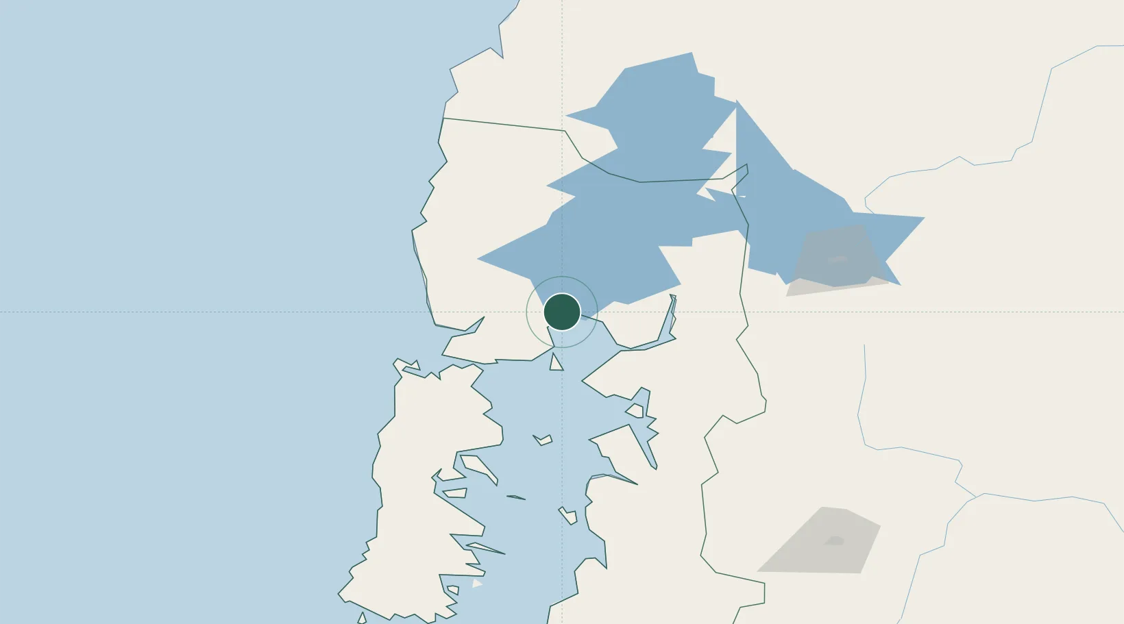
Hub Profile
Place type
Regional capital
Region
Los Lagos Region
Population
245,902
Time zone
America/Santiago
Elevation
11 m
Logistics facilities
3
Location
Nearby Logistics Neighbours
Cities
- 1Puerto Varas19 km
- 2Llanquihue26 km
- 3Calbuco32 km
- 4Los Muermos40 km
- 5Pargua50 km
Ports
- 1Puerto Quemchi84 km
- 2Puerto Castro128 km
- 3Puerto De Corral183 km
- 4Bahia De Valdivia188 km
- 5Puerto Chacabuco443 km
Airports
- 1El Tepual International Airport8 km
- 2Cañal Bajo Carlos Hott Siebert Airport97 km
- 3Mocopulli Airport112 km
- 4El Bolsón Airfield133 km
- 5Nuevo Chaitén Airport145 km
Trade Zones
DatabookThe Record of Consolidated Knowledge
Chile beyond logistics?