Transport Functions
Multimodal
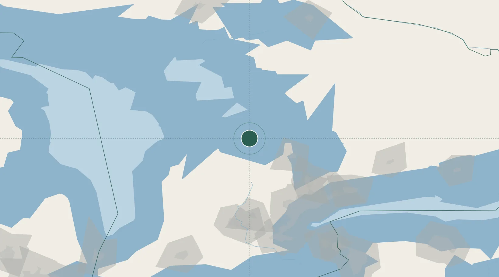
Hub Profile
Place type
Populated place
Region
Ontario
Time zone
America/Toronto
Elevation
320 m
Location
Nearby Logistics Neighbours
Cities
- 1Thornbury15 km
- 2Meaford24 km
- 3Penetanguishene33 km
- 4Elmvale37 km
- 5Maxwell38 km
Ports
- 1Thornbury14 km
- 2Collingwood16 km
- 3Meaford24 km
- 4Penetanguishene33 km
- 5Midland33 km
Airports
Trade Zones
- 1FTZ No. 034 Niagara County174 km
- 2Niagara Foreign Trade Zone199 km
- 3FTZ No. 023 Buffalo227 km
- 4FTZ No. 141 Monroe County240 km
- 5FTZ No. 210 St. Clair County269 km
DatabookThe Record of Consolidated Knowledge
Canada beyond logistics?