Transport Functions
Port
Hub Profile
Region
AK
Location
Nearby Logistics Neighbours
Cities
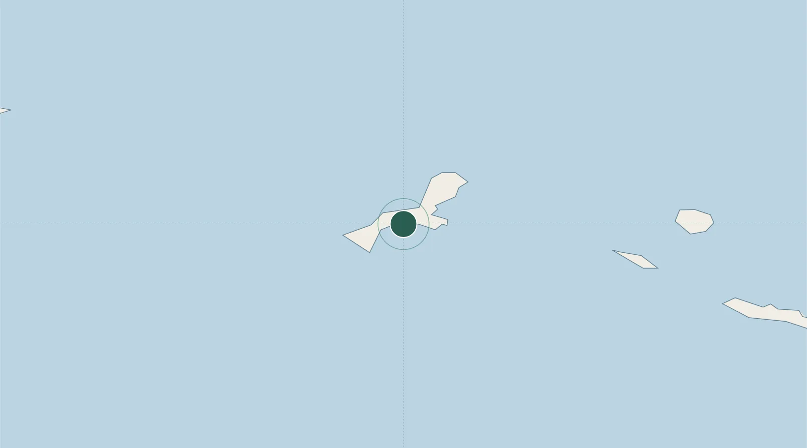
- 1Kiska Island7 km
- 2Kiska Harbour9 km
- 3Zagorow125 km
- 4Margonin151 km
- 5Zorawina326 km
Ports
- 1Kiska8 km
- 2Alcan Harbor247 km
- 3Port Beringovsky1243 km
- 4Petropavlovsk1275 km
- 5Bukhta Nagayeva (Magadan)1859 km
Airports
- 1Eareckson Air Station243 km
- 2Ust'-Kamchatsk Airport1072 km
- 3Yelizovo Airport1288 km
- 4Avachinskiy Heliport1292 km
- 5Sharomy Air Base1310 km
Trade Zones
DatabookThe Record of Consolidated Knowledge
United States beyond logistics?