Medium airport · United States

Eareckson Air StationPASY
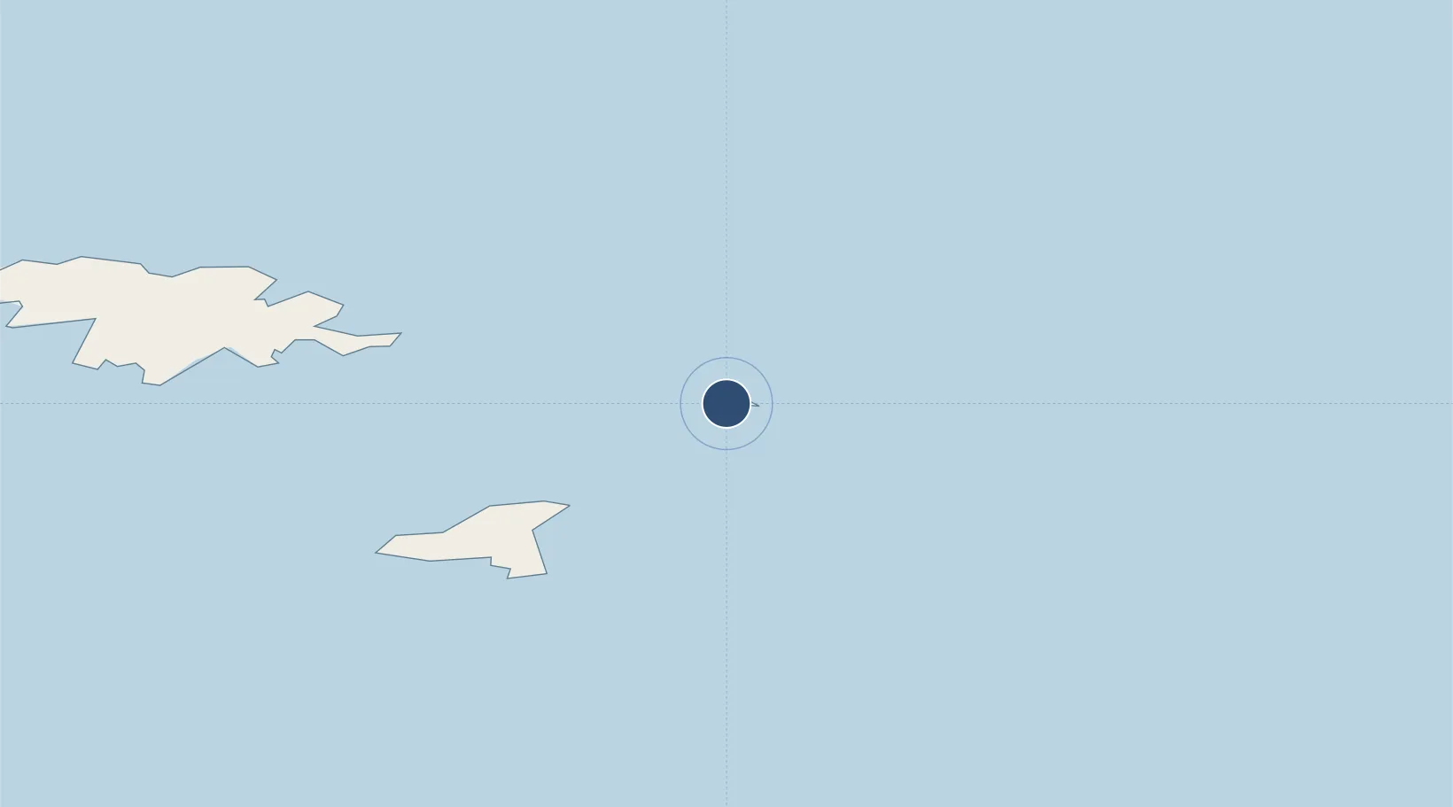
52.7123°, 174.1140°
10,004 ft
Longest runway
1
Runways
95 ft
Elevation

Runway & Layout

Eareckson Air Station runway & taxiway layout
Runway & taxiway layout — OpenStreetMap (ODbL) / OurAirports

Radio Frequencies

ASOS
135.65 MHz
CTAF
127.2 MHz
CNTR
119.1 MHz
ANCHORAGE CNTR
OurAirports

Navaids

SYA VORTAC Shemya 109.00 MHz
SYA NDB Shemya 403 kHz
OurAirports

Runways · 1

RunwayDimensions SurfaceTrue headingLit
10/28 10,004 × 150ft Asphalt 107°
OurAirports

Airport Specifications

IATA code
SYA
OurAirports
ICAO code
PASY
OurAirports
Airport class
Medium airport
OurAirports
Scheduled service
No
OurAirports
Runway surface
Asphalt
OurAirports
Served city
Shemya
OurAirports

Location

Location of PASY
Natural Earth 10m (public domain) · Kamchatka · PASY · 52.71, 174.11GoogleOSMYandex

Nearby Logistics Neighbours

Airports
  1. 1Ust'-Kamchatsk Airport834 km
  2. 2Yelizovo Airport1049 km
  3. 3Avachinskiy Heliport1053 km
  4. 4Sharomy Air Base1068 km
  5. 5Palana Airport1131 km
Nearest neighbours — logibook spatial index (haversine) over the source coordinates
Cities
  1. 1Zagorow122 km
  2. 2Margonin130 km
  3. 3Zorawina207 km
  4. 4Gertrude Cove243 km
  5. 5Kiska Island248 km
Nearest neighbours — logibook spatial index (haversine) over the source coordinates
Ports
  1. 1Alcan Harbor4 km
  2. 2Kiska248 km
  3. 3Petropavlovsk1036 km
  4. 4Port Beringovsky1191 km
  5. 5Bukhta Nagayeva (Magadan)1626 km
Nearest neighbours — logibook spatial index (haversine) over the source coordinates
Trade Zones
  1. 1Sovetskaya Gavan Free Zone2390 km
  2. 2Forest General Industrial Special Zone2480 km
  3. 3Hokkaido Food Complex International Strategic Comprehensive Special Zone2639 km
  4. 4Sapporo Contents Special Zone2641 km
  5. 5Semboku City Strategic Special Zone2911 km
Nearest neighbours — logibook spatial index (haversine) over the source coordinates
DatabookThe Record of Consolidated Knowledge
United States beyond logistics?
Browse databook

All Sources

AirportsOurAirports
Public domain
Portsthe NGA World Port Index
Public domain (US gov)
LocationsUN/LOCODE
UN/LOCODE — free
Trade Zonesthe World Bank SEZ database
CC BY 4.0
Trade ZonesOpen Zone Map
CC BY
InfrastructureOpenStreetMap
ODbL 1.0
← United States airports