Runway & Layout

Airport Specifications
ICAO code
UHQA
Airport class
Heliport
Scheduled service
Yes
Served city
Yelizovo
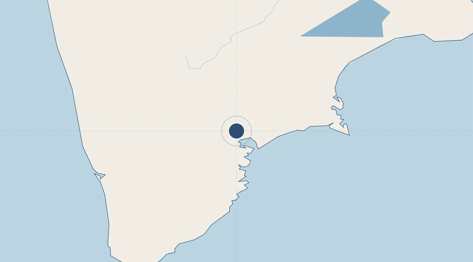
Location
Nearby Logistics Neighbours
Airports
- 1Yelizovo Airport4 km
- 2Sharomy Air Base127 km
- 3Ust'-Kamchatsk Airport440 km
- 4Palana Airport665 km
- 5Magadan-13 Airport852 km
Cities
- 1Petropavlovsk-Kamchatskiy22 km
- 2Bukhta Ol'ga236 km
- 3Dobrenice322 km
- 4Wolfsberg im Schwarzautal428 km
- 5Ust-Kamchatsk440 km
Ports
- 1Petropavlovsk21 km
- 2Bukhta Nagayeva (Magadan)854 km
- 3Okha1020 km
- 4Alcan Harbor1049 km
- 5Moskal Vo1053 km
Trade Zones
DatabookThe Record of Consolidated Knowledge
Russia beyond logistics?