UN/LOCODE hub · United States
USNKR
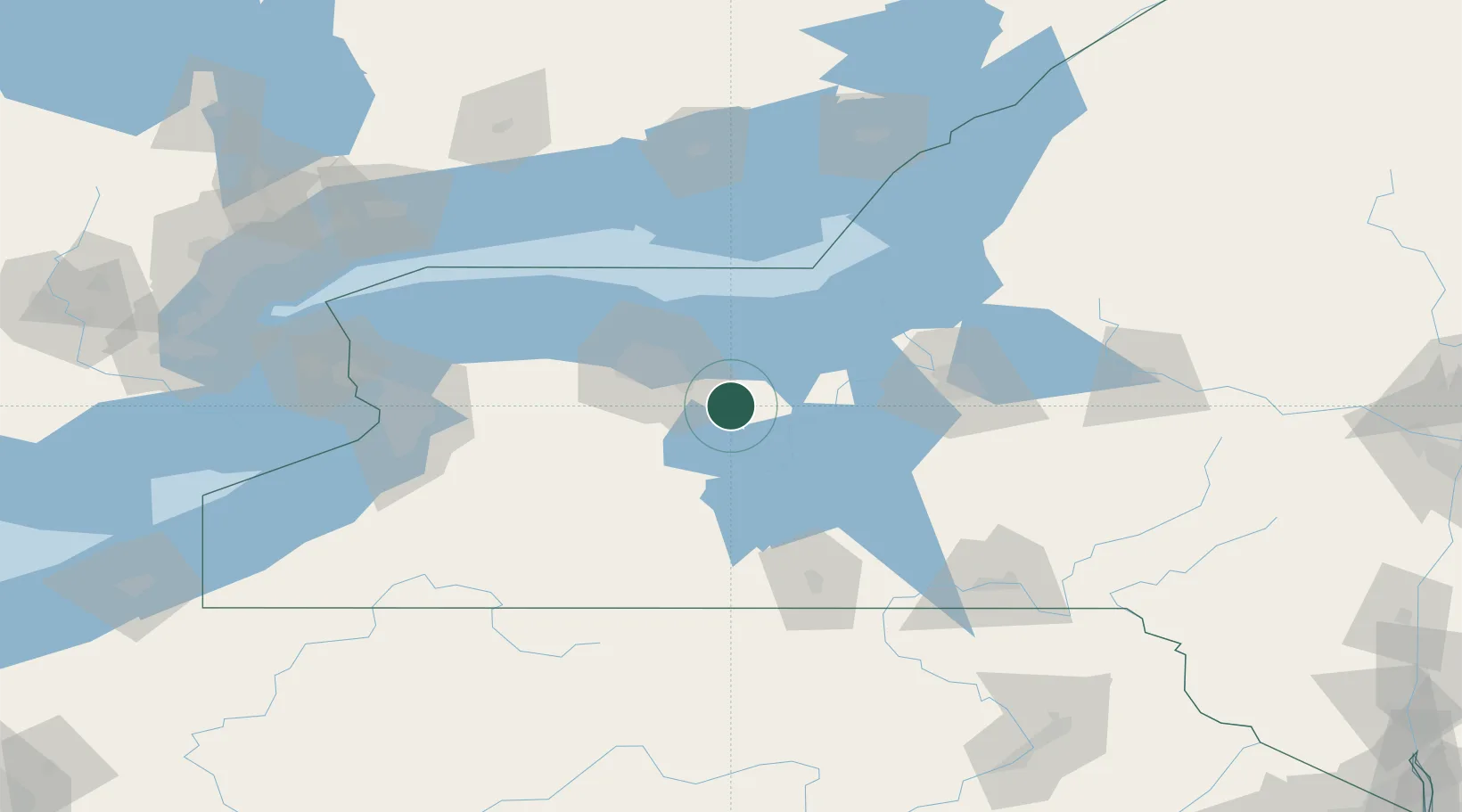
Manchester
42.9667°, -77.2333°
1,661
Population
2
Transport functions
Transport Functions
Rail
Road
Hub Profile
Place type
Populated place
Region
New York
Population
1,661
Time zone
America/New_York
Elevation
180 m
Location
Nearby Logistics Neighbours
Cities
- 1Palmyra9 km
- 2Phelps15 km
- 3East Bloomfield19 km
- 4Mendon22 km
- 5Penfield27 km
Airports
Trade Zones
- 1FTZ No. 289 Ontario County33 km
- 2FTZ No. 141 Monroe County69 km
- 3FTZ No. 090 Onondaga77 km
- 4FTZ No. 172 Oneida County102 km
- 5FTZ No. 023 Buffalo134 km
DatabookThe Record of Consolidated Knowledge
United States beyond logistics?