UN/LOCODE hub · United States
USBUF
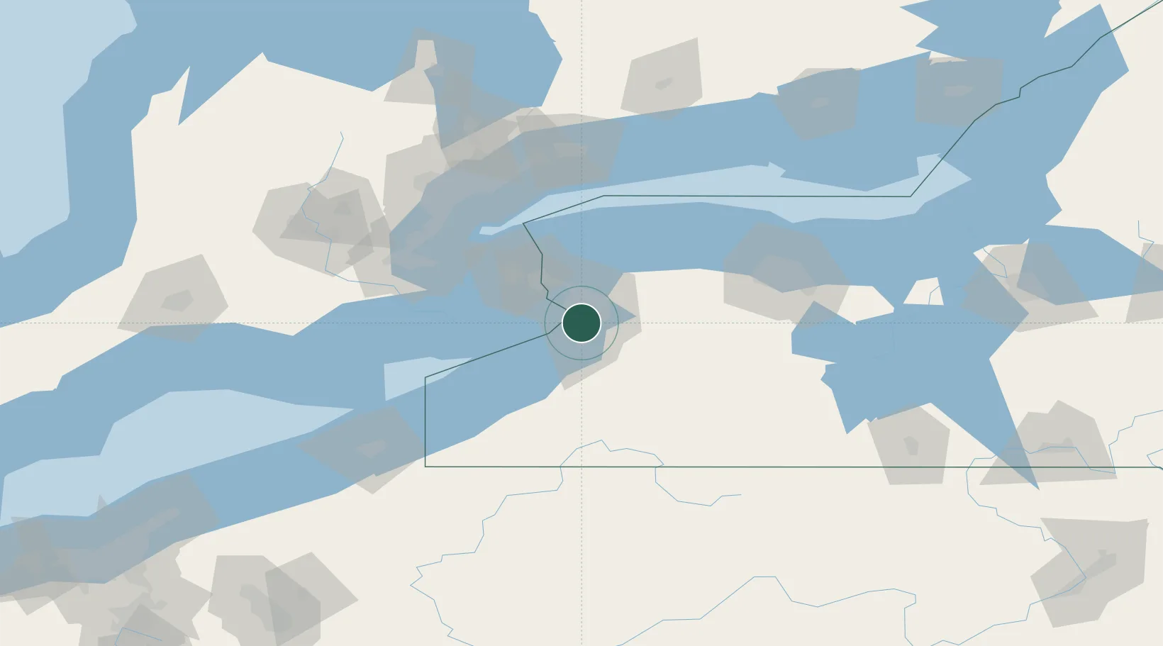
Buffalo
42.8652°, -78.8216°
258,071
Population
3
Transport functions
Transport Functions
Port
Airport
Postal
Hub Profile
Place type
Provincial seat
Region
New York
Population
258,071
Time zone
America/New_York
Elevation
183 m
Logistics facilities
8
Location
Nearby Logistics Neighbours
Cities
- 1Blasdell8 km
- 2Kenilworth10 km
- 3Kenmore10 km
- 4Mount Vernon14 km
- 5Elma, Erie16 km
Ports
- 1Tonawanda19 km
- 2Port Colborne35 km
- 3Welland38 km
- 4Queenston39 km
- 5Youngstown47 km
Airports
Trade Zones
DatabookThe Record of Consolidated Knowledge
United States beyond logistics?