Transport Functions
Rail
Road
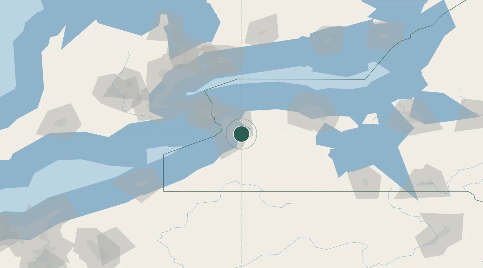
Hub Profile
Region
NY
Location
Nearby Logistics Neighbours
Cities
- 1Alden13 km
- 2Buffalo16 km
- 3Blasdell16 km
- 4Kenilworth21 km
- 5Hamburg21 km
Ports
- 1Buffalo21 km
- 2Tonawanda30 km
- 3Port Colborne51 km
- 4Queenston51 km
- 5Welland54 km
Airports
Trade Zones
DatabookThe Record of Consolidated Knowledge
United States beyond logistics?