Transport Functions
Rail
Road
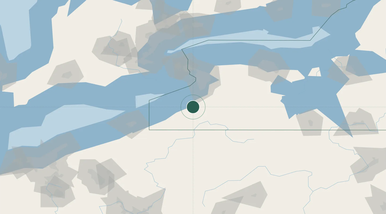
Hub Profile
Place type
Populated place
Region
New York
Time zone
America/New_York
Elevation
408 m
Location
Nearby Logistics Neighbours
Cities
- 1Collins9 km
- 2Silver Creek21 km
- 3Dunkirk26 km
- 4Derby28 km
- 5East Concord30 km
Ports
- 1Dunkirk31 km
- 2Buffalo52 km
- 3Port Colborne57 km
- 4Welland69 km
- 5Tonawanda69 km
Airports
Trade Zones
- 1FTZ No. 023 Buffalo52 km
- 2Niagara Foreign Trade Zone75 km
- 3FTZ No. 247 Erie100 km
- 4FTZ No. 034 Niagara County102 km
- 5FTZ No. 254 Jefferson County111 km
DatabookThe Record of Consolidated Knowledge
United States beyond logistics?