About
Methodology
Sources
Licensing
English
EN
English
TR
Türkçe
DE
Deutsch
FR
Français
ES
Español
IT
Italiano
PT
Português
NL
Nederlands
PL
Polski
RU
Русский
UK
Українська
CS
Čeština
RO
Română
EL
Ελληνικά
BG
Български
AR
العربية
FA
فارسی
UR
اردو
HI
हिन्दी
BN
বাংলা
ID
Bahasa Indonesia
VI
Tiếng Việt
ZH
中文
JA
日本語
KO
한국어
logibook
/
Countries
/
United States
/
Locations
/
East Concord
UN/LOCODE hub ·
United States
US
ECX
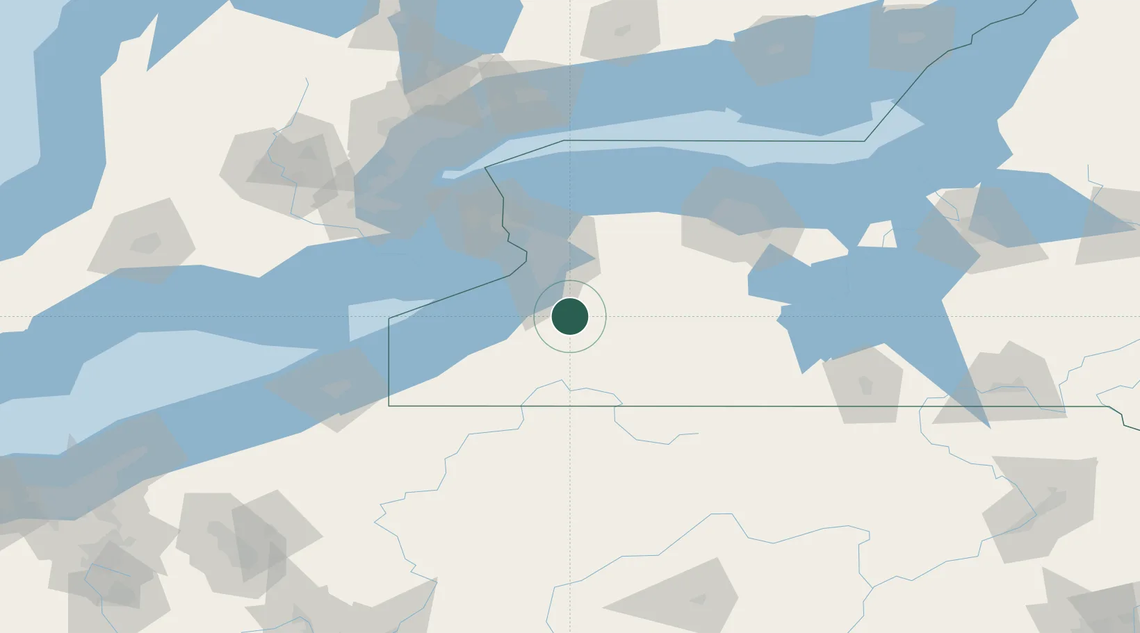
East Concord
42.5500°, -78.6500°
2
Transport functions
Transport Functions
Rail
Road
UN/LOCODE
Hub Profile
Place type
Populated place
GeoNames
Region
New York
GeoNames
Time zone
America/New_York
GeoNames
Elevation
444 m
GeoNames
Location
Natural Earth 10m (public domain) · New York · USECX · 42.55, -78.65
Google ↗
OSM ↗
Yandex ↗
Nearby Logistics Neighbours
Cities
1
Sardinia
12 km
2
Chaffee
15 km
3
Delevan
16 km
4
Arcade
19 km
5
Hamburg
22 km
Nearest neighbours — logibook spatial index (haversine) over the source coordinates
Ports
1
Buffalo
42 km
2
Dunkirk
57 km
3
Tonawanda
57 km
4
Port Colborne
62 km
5
Welland
70 km
Nearest neighbours — logibook spatial index (haversine) over the source coordinates
Airports
1
Buffalo Niagara International Airport
44 km
2
Chautauqua County-Jamestown Airport
66 km
3
Niagara Falls International Airport
67 km
4
Niagara District Airport
83 km
5
Bradford Regional Airport
83 km
Nearest neighbours — logibook spatial index (haversine) over the source coordinates
Trade Zones
1
FTZ No. 023 Buffalo
41 km
2
Niagara Foreign Trade Zone
69 km
3
FTZ No. 289 Ontario County
93 km
4
FTZ No. 034 Niagara County
94 km
5
FTZ No. 141 Monroe County
99 km
Nearest neighbours — logibook spatial index (haversine) over the source coordinates
Data
book
The Record of Consolidated Knowledge
United States beyond logistics?
Browse databook
→
All Sources
Locations
UN/LOCODE
UN/LOCODE — free
↗
Ports
the NGA World Port Index
Public domain (US gov)
↗
Airports
OurAirports
Public domain
↗
Trade Zones
the World Bank SEZ database
CC BY 4.0
↗
Trade Zones
Open Zone Map
CC BY
↗
← United States locations