Transport Functions
Rail
Road
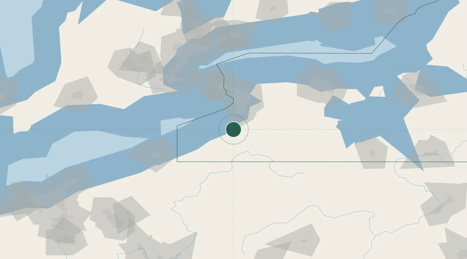
Hub Profile
Place type
Populated place
Region
New York
Time zone
America/New_York
Elevation
268 m
Location
Nearby Logistics Neighbours
Cities
- 1Dayton9 km
- 2Derby21 km
- 3Silver Creek21 km
- 4East Concord23 km
- 5Hamburg25 km
Ports
- 1Dunkirk34 km
- 2Buffalo45 km
- 3Port Colborne52 km
- 4Tonawanda61 km
- 5Welland64 km
Airports
Trade Zones
- 1FTZ No. 023 Buffalo44 km
- 2Niagara Foreign Trade Zone69 km
- 3FTZ No. 034 Niagara County95 km
- 4FTZ No. 247 Erie106 km
- 5FTZ No. 289 Ontario County116 km
DatabookThe Record of Consolidated Knowledge
United States beyond logistics?