UN/LOCODE hub · United States
USZII
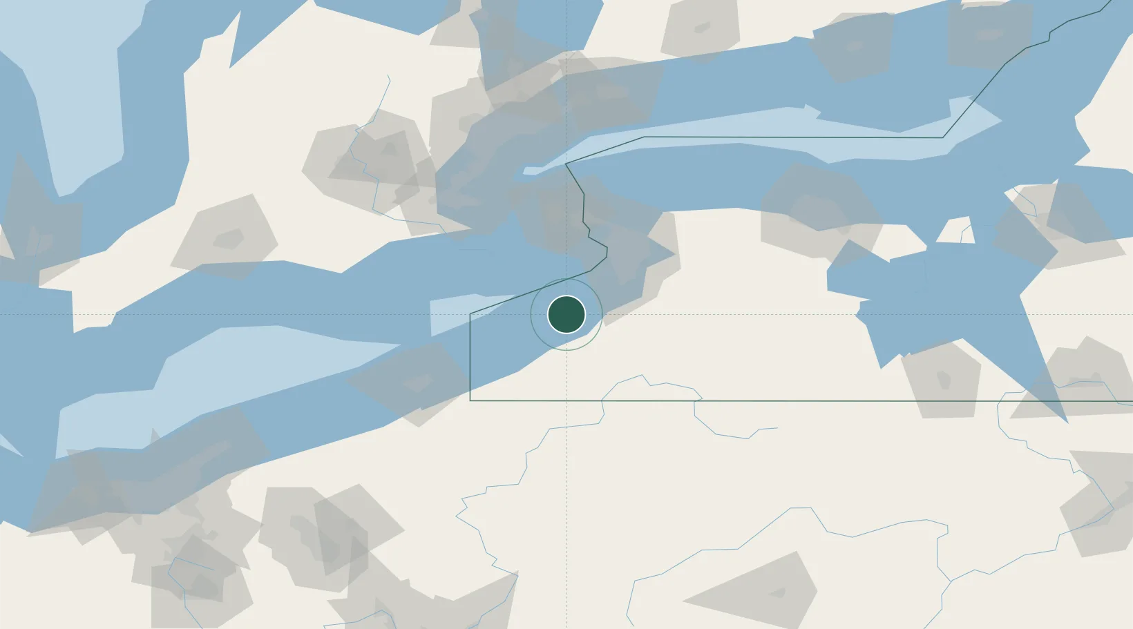
Silver Creek
42.5333°, -79.1667°
2,545
Population
1
Transport functions
Transport Functions
Multimodal
Hub Profile
Place type
Populated place
Region
New York
Population
2,545
Time zone
America/New_York
Elevation
179 m
Location
Nearby Logistics Neighbours
Cities
- 1Dunkirk10 km
- 2Dayton21 km
- 3Collins21 km
- 4Derby22 km
- 5Lake View, Erie28 km
Ports
- 1Dunkirk15 km
- 2Port Colborne40 km
- 3Buffalo45 km
- 4Port Maitland49 km
- 5Welland52 km
Airports
Trade Zones
- 1FTZ No. 023 Buffalo45 km
- 2Niagara Foreign Trade Zone63 km
- 3FTZ No. 034 Niagara County88 km
- 4FTZ No. 247 Erie90 km
- 5FTZ No. 254 Jefferson County127 km
DatabookThe Record of Consolidated Knowledge
United States beyond logistics?