Transport Functions
Port
Road
Hub Profile
Place type
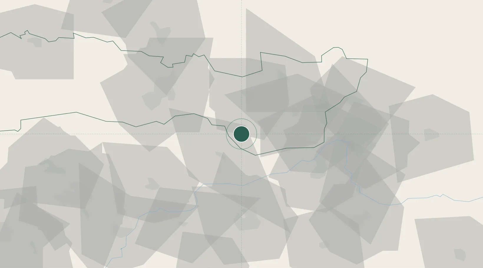
Populated place
Region
Košice Region
Time zone
Europe/Bratislava
Elevation
160 m
Location
Nearby Logistics Neighbours
Cities
- 1Sátoraljaújhely6 km
- 2Sárospatak17 km
- 3Kralovsky Chlmec22 km
- 4Pribenik25 km
- 5Dobrá25 km
Ports
- 1Braila597 km
- 2Senj645 km
- 3Bakar646 km
- 4Rijeka Luka650 km
- 5Omisalj651 km
Airports
Trade Zones
DatabookThe Record of Consolidated Knowledge
Slovakia beyond logistics?