UN/LOCODE hub · Hungary
HUSAT
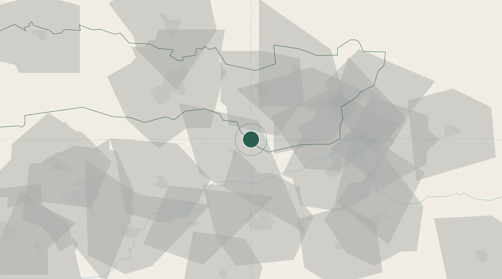
Sátoraljaújhely
48.4000°, 21.6667°
18,052
Population
2
Transport functions
Transport Functions
Rail
Road
Hub Profile
Place type
Provincial seat
Region
Borsod-Abaúj-Zemplén
Population
18,052
Time zone
Europe/Budapest
Elevation
108 m
Location
Nearby Logistics Neighbours
Cities
- 1Malá Trna6 km
- 2Sárospatak12 km
- 3Kralovsky Chlmec23 km
- 4Pribenik25 km
- 5Dobrá26 km
Ports
- 1Braila594 km
- 2Senj641 km
- 3Bakar642 km
- 4Omisalj647 km
- 5Rijeka Luka647 km
Airports
Trade Zones
DatabookThe Record of Consolidated Knowledge
Hungary beyond logistics?