UN/LOCODE hub · Slovakia
SKSVC

Secovce

48.7000°, 21.6500°
8,531
Population
2
Transport functions

Transport Functions

Road
Multimodal
UN/LOCODE

Hub Profile

Place type
Populated place
GeoNames
Region
Košice Region
GeoNames
Population
8,531
GeoNames
Time zone
Europe/Bratislava
GeoNames
Elevation
125 m
GeoNames

Location

Location of SKSVC
Natural Earth 10m (public domain) · Košice Region · SKSVC · 48.70, 21.65GoogleOSMYandex

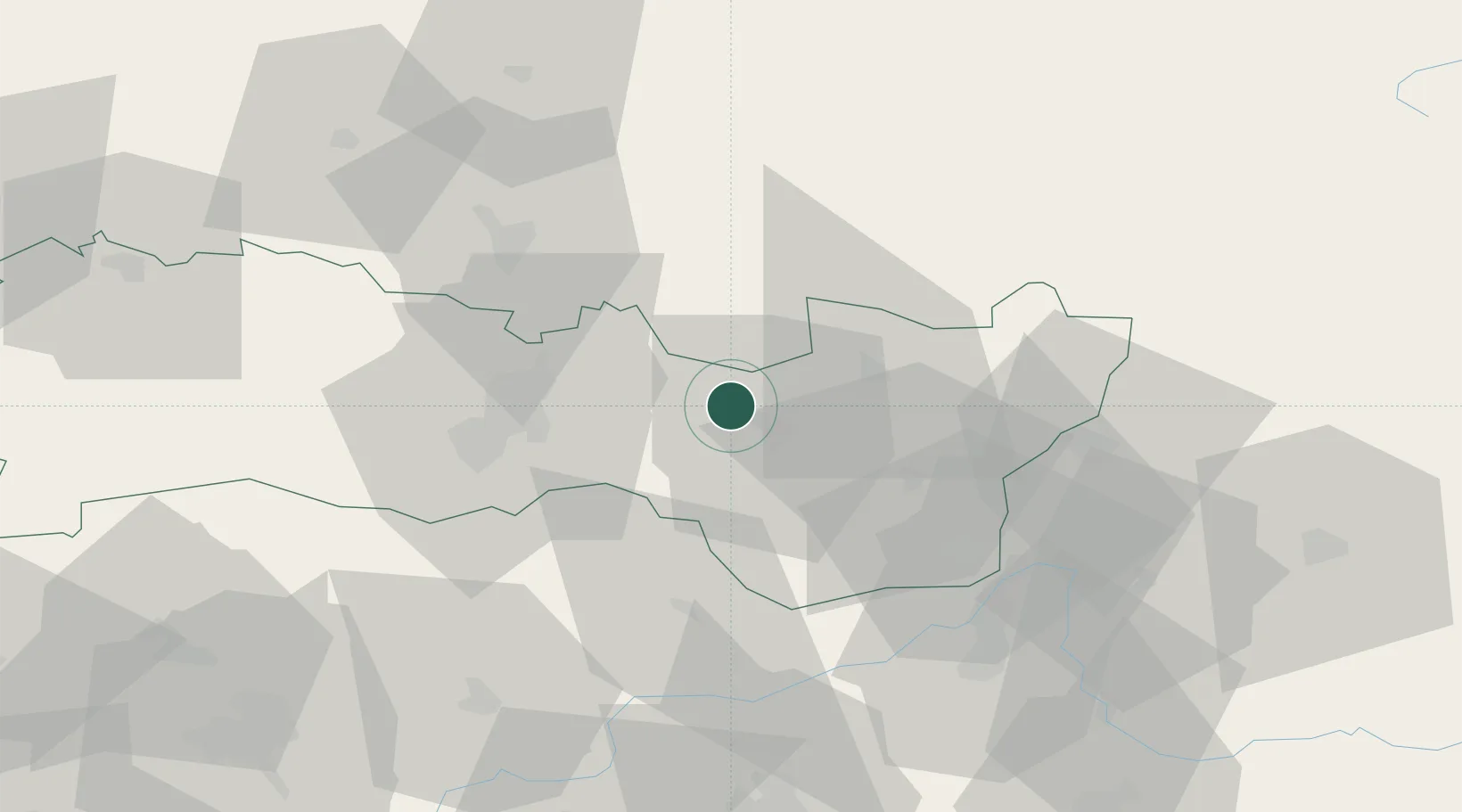
Nearby Logistics Neighbours

Cities
  1. 1Michalovce20 km
  2. 2Strázske23 km
  3. 3Sady nad Torysou23 km
  4. 4Malá Trna28 km
  5. 5Kosice29 km
Nearest neighbours — logibook spatial index (haversine) over the source coordinates
Ports
  1. 1Braila615 km
  2. 2Bakar659 km
  3. 3Senj659 km
  4. 4Gdansk661 km
  5. 5Rijeka Luka663 km
Nearest neighbours — logibook spatial index (haversine) over the source coordinates
Airports
  1. 1Košice International Airport30 km
  2. 2Uzhhorod International Airport46 km
  3. 3Poprad-Tatry Airport111 km
  4. 4Debrecen International Airport135 km
  5. 5Satu Mare International Airport144 km
Nearest neighbours — logibook spatial index (haversine) over the source coordinates
Trade Zones
  1. 1Transcarpathian Special Economic Zone (Zakarpattia)48 km
  2. 2Customs Free Zone Zahony50 km
  3. 3Special Economic Zone Kurortopolis Truskavets150 km
  4. 4Euro-Park Mielec180 km
  5. 5Special Economic Zone Yavoriv187 km
Nearest neighbours — logibook spatial index (haversine) over the source coordinates
DatabookThe Record of Consolidated Knowledge
Slovakia beyond logistics?
Browse databook

All Sources

LocationsUN/LOCODE
UN/LOCODE — free
LocationsGeoNames
CC BY 4.0
Portsthe NGA World Port Index
Public domain (US gov)
AirportsOurAirports
Public domain
Trade Zonesthe World Bank SEZ database
CC BY 4.0
Trade ZonesOpen Zone Map
CC BY
← Slovakia locations