UN/LOCODE hub · Slovakia
SKMHC

Michalovce

48.7500°, 21.9167°
35,874
Population
3
Transport functions

Transport Functions

Rail
Road
Multimodal
UN/LOCODE

Hub Profile

Place type
Provincial seat
GeoNames
Region
Košice Region
GeoNames
Population
35,874
GeoNames
Time zone
Europe/Bratislava
GeoNames
Elevation
111 m
GeoNames

Location

Location of SKMHC
Natural Earth 10m (public domain) · Košice Region · SKMHC · 48.75, 21.92GoogleOSMYandex

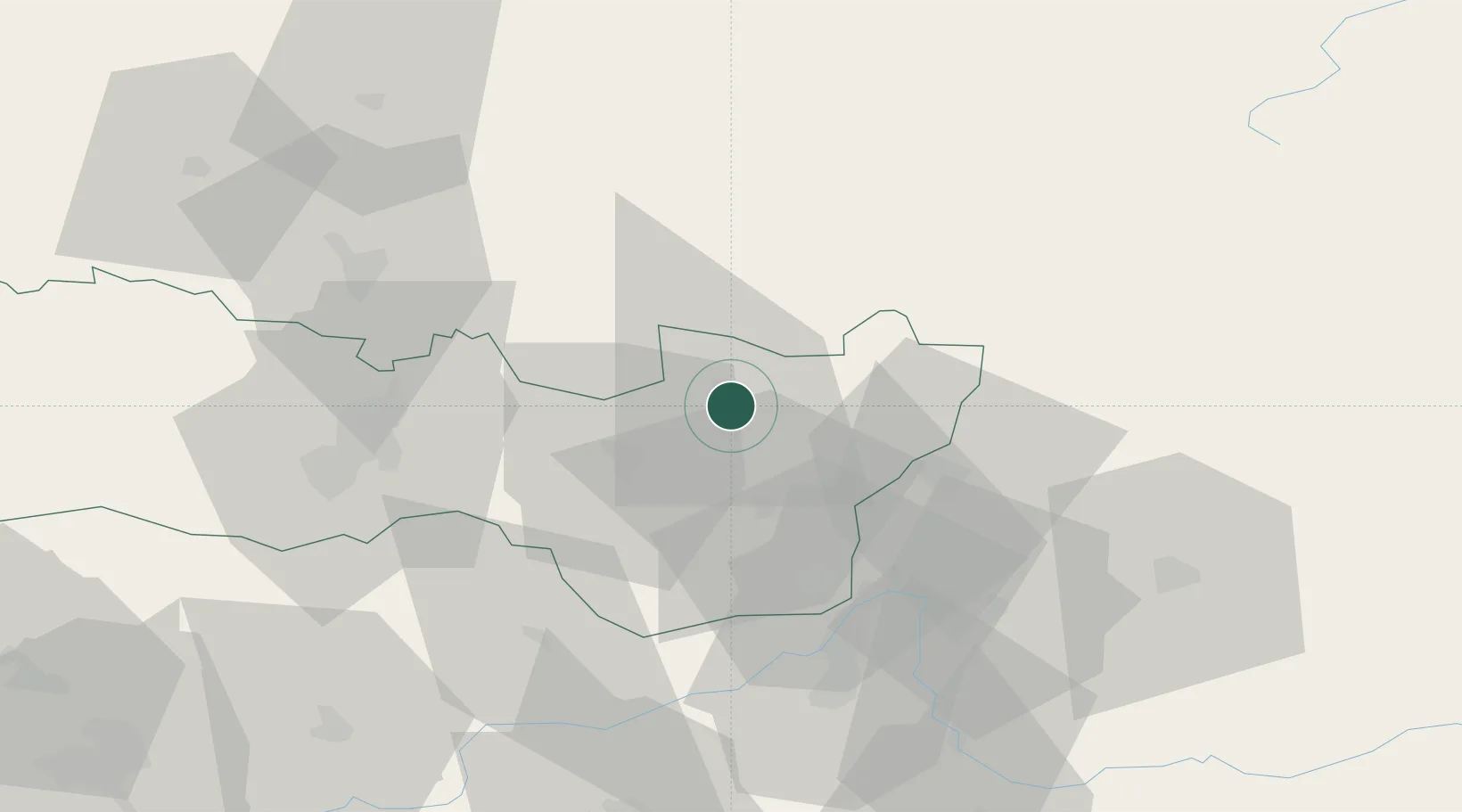
Nearby Logistics Neighbours

Cities
  1. 1Lúcky10 km
  2. 2Strázske14 km
  3. 3Humenné19 km
  4. 4Secovce20 km
  5. 5Velké Kapusany25 km
Nearest neighbours — logibook spatial index (haversine) over the source coordinates
Ports
  1. 1Braila602 km
  2. 2Gdansk662 km
  3. 3Baltiysk669 km
  4. 4Nowy Port669 km
  5. 5Kaliningrad669 km
Nearest neighbours — logibook spatial index (haversine) over the source coordinates
Airports
  1. 1Uzhhorod International Airport29 km
  2. 2Košice International Airport51 km
  3. 3Poprad-Tatry Airport128 km
  4. 4Satu Mare International Airport137 km
  5. 5Debrecen International Airport142 km
Nearest neighbours — logibook spatial index (haversine) over the source coordinates
Trade Zones
  1. 1Transcarpathian Special Economic Zone (Zakarpattia)31 km
  2. 2Customs Free Zone Zahony43 km
  3. 3Special Economic Zone Kurortopolis Truskavets130 km
  4. 4Special Economic Zone Yavoriv170 km
  5. 5Euro-Park Mielec177 km
Nearest neighbours — logibook spatial index (haversine) over the source coordinates
DatabookThe Record of Consolidated Knowledge
Slovakia beyond logistics?
Browse databook

All Sources

LocationsUN/LOCODE
UN/LOCODE — free
LocationsGeoNames
CC BY 4.0
Portsthe NGA World Port Index
Public domain (US gov)
AirportsOurAirports
Public domain
Trade Zonesthe World Bank SEZ database
CC BY 4.0
Trade ZonesOpen Zone Map
CC BY
← Slovakia locations