Transport Functions
Rail
Road
Multimodal
Hub Profile
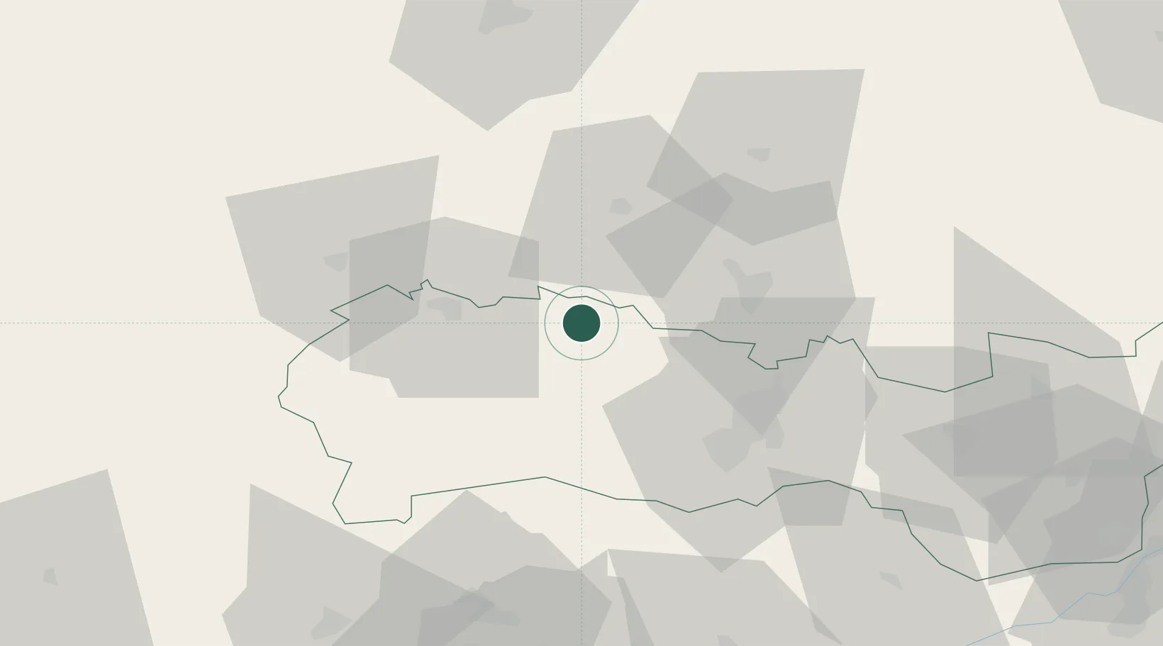
Place type
Populated place
Region
Košice Region
Population
8,615
Time zone
Europe/Bratislava
Elevation
380 m
Location
Nearby Logistics Neighbours
Cities
- 1Gelnica9 km
- 2Prakovce11 km
- 3Spisske Podhradie13 km
- 4Levoca23 km
- 5Sabinov27 km
Ports
- 1Gdansk623 km
- 2Bakar625 km
- 3Rijeka Luka629 km
- 4Senj629 km
- 5Nowy Port630 km
Airports
- 1Košice International Airport39 km
- 2Poprad-Tatry Airport49 km
- 3Uzhhorod International Airport107 km
- 4Sliač Airport131 km
- 5Kraków John Paul II International Airport151 km
Trade Zones
- 1Transcarpathian Special Economic Zone (Zakarpattia)109 km
- 2Customs Free Zone Zahony111 km
- 3Kraków Technology Park142 km
- 4Euro-Park Mielec161 km
- 5Göd Special Economic Zone186 km
DatabookThe Record of Consolidated Knowledge
Slovakia beyond logistics?