Transport Functions
Port
Multimodal
Hub Profile
Place type
Populated place
Region
Košice Region
Time zone
Europe/Bratislava
Elevation
209 m
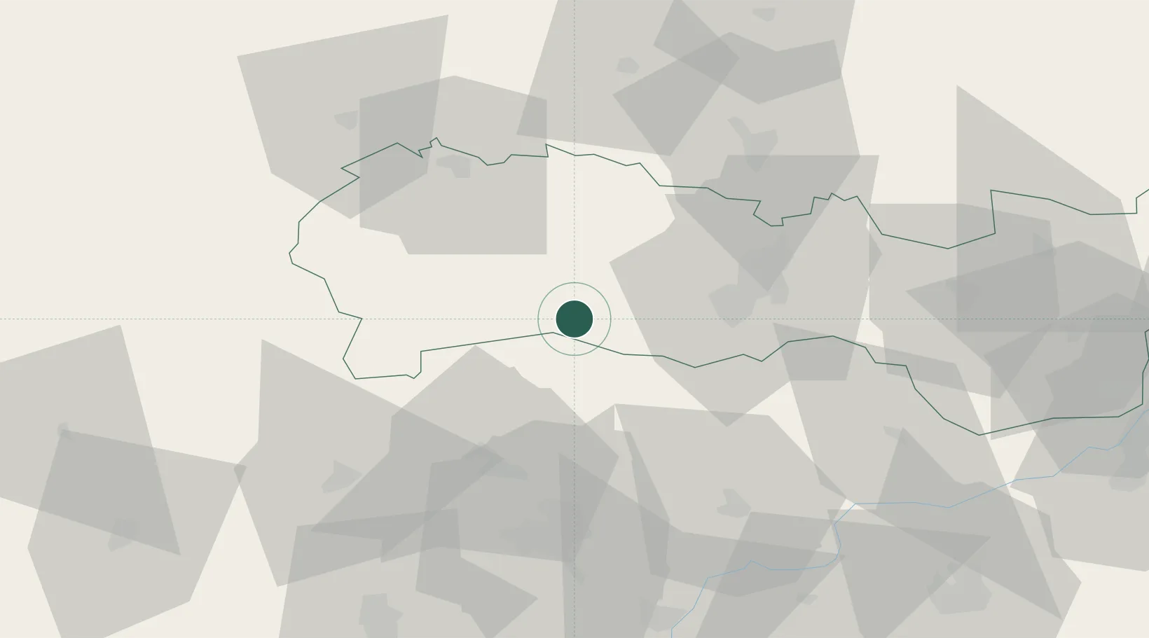
Location
Nearby Logistics Neighbours
Cities
- 1Tornanádaska5 km
- 2Perkupa18 km
- 3Buzica19 km
- 4Prakovce25 km
- 5Gelnica29 km
Ports
- 1Bakar602 km
- 2Senj605 km
- 3Rijeka Luka606 km
- 4Omisalj607 km
- 5Zaliv Rasa648 km
Airports
- 1Košice International Airport31 km
- 2Poprad-Tatry Airport68 km
- 3Uzhhorod International Airport105 km
- 4Sliač Airport125 km
- 5Debrecen International Airport137 km
Trade Zones
- 1Customs Free Zone Zahony100 km
- 2Transcarpathian Special Economic Zone (Zakarpattia)107 km
- 3Göd Special Economic Zone161 km
- 4Kraków Technology Park172 km
- 5Euro-Park Mielec196 km
DatabookThe Record of Consolidated Knowledge
Slovakia beyond logistics?