Transport Functions
Multimodal
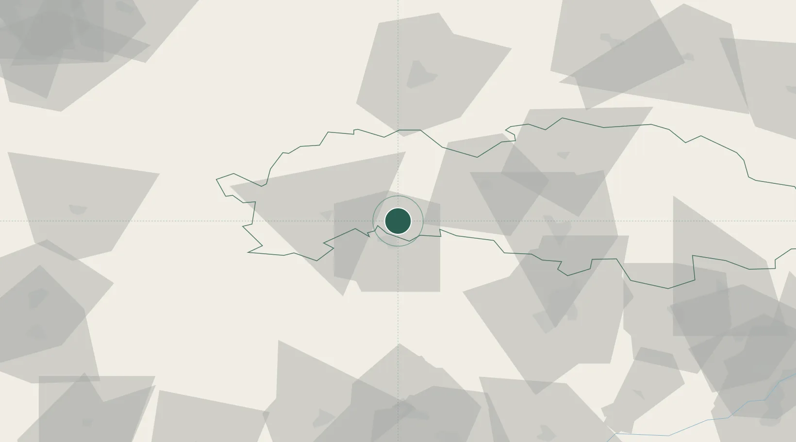
Hub Profile
Place type
Provincial seat
Region
Prešov Region
Population
13,979
Time zone
Europe/Bratislava
Elevation
536 m
Location
Nearby Logistics Neighbours
Cities
- 1Spisske Podhradie12 km
- 2Spisský Stiavnik17 km
- 3Velká Lomnica19 km
- 4Poprad22 km
- 5Krompachy23 km
Ports
- 1Gdansk606 km
- 2Nowy Port613 km
- 3Bakar618 km
- 4Rijeka Luka621 km
- 5Senj624 km
Airports
- 1Poprad-Tatry Airport27 km
- 2Košice International Airport62 km
- 3Sliač Airport116 km
- 4Uzhhorod International Airport130 km
- 5Kraków John Paul II International Airport130 km
Trade Zones
DatabookThe Record of Consolidated Knowledge
Slovakia beyond logistics?