Transport Functions
Rail
Road
Multimodal
Hub Profile
Place type
Populated place
Region
Košice Region
Time zone
Europe/Bratislava
Elevation
171 m
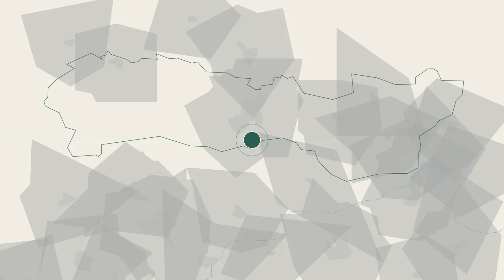
Location
Nearby Logistics Neighbours
Cities
- 1Hidasnémeti6 km
- 2Kosice14 km
- 3Buzica15 km
- 4Sady nad Torysou17 km
- 5Szemere26 km
Ports
- 1Bakar626 km
- 2Senj626 km
- 3Braila628 km
- 4Rijeka Luka630 km
- 5Omisalj631 km
Airports
Trade Zones
DatabookThe Record of Consolidated Knowledge
Slovakia beyond logistics?