Transport Functions
Multimodal
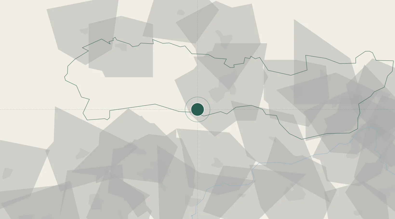
Hub Profile
Place type
Populated place
Region
Košice Region
Time zone
Europe/Bratislava
Elevation
212 m
Location
Nearby Logistics Neighbours
Cities
- 1Hidasnémeti13 km
- 2Kechnec15 km
- 3Dvorniky19 km
- 4Kosice21 km
- 5Tornanádaska21 km
Ports
- 1Bakar612 km
- 2Senj613 km
- 3Rijeka Luka616 km
- 4Omisalj617 km
- 5Braila640 km
Airports
- 1Košice International Airport19 km
- 2Poprad-Tatry Airport85 km
- 3Uzhhorod International Airport89 km
- 4Debrecen International Airport123 km
- 5Sliač Airport143 km
Trade Zones
DatabookThe Record of Consolidated Knowledge
Slovakia beyond logistics?