Transport Functions
Rail
Road
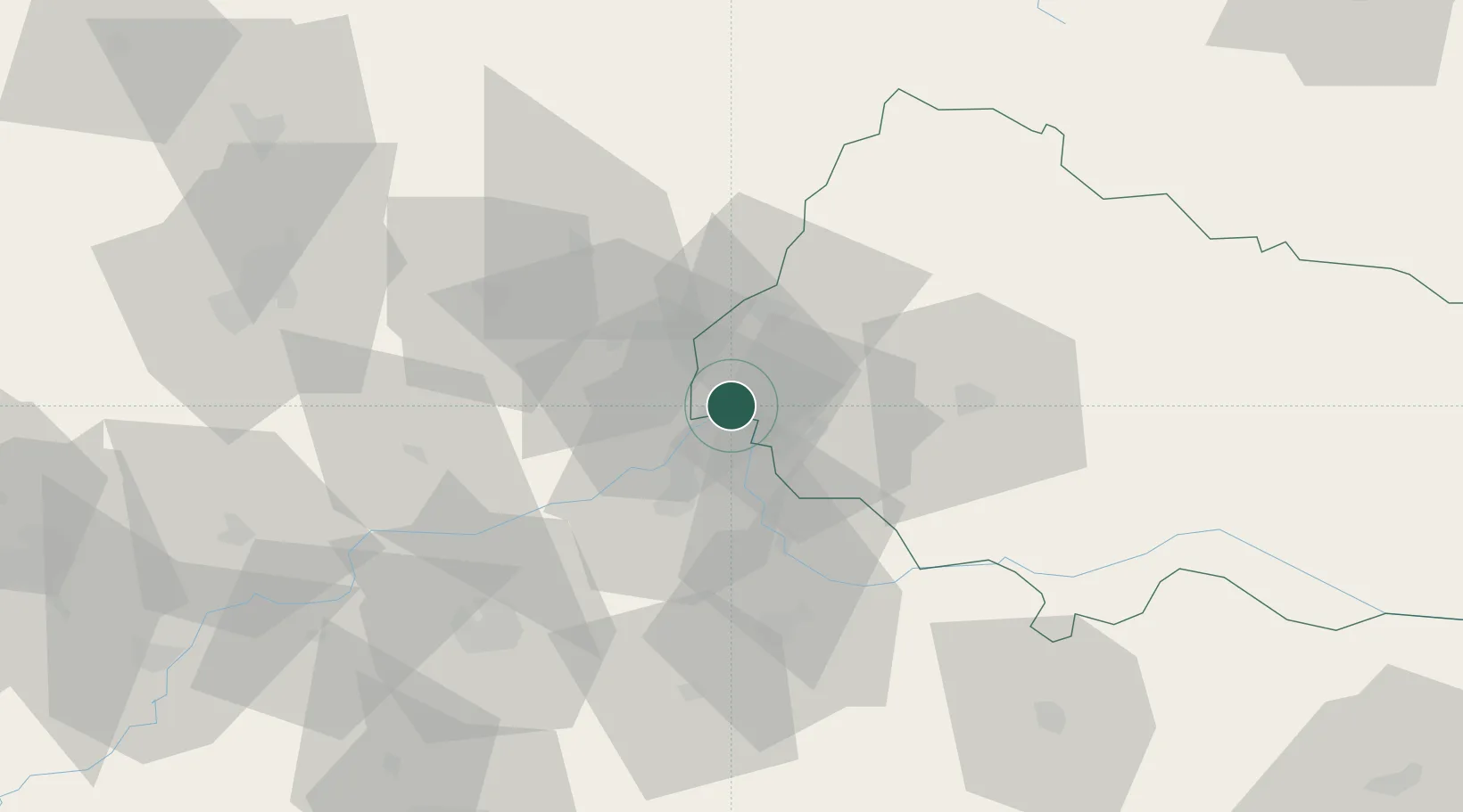
Hub Profile
Place type
Populated place
Region
Zakarpattia
Population
8,626
Time zone
Europe/Kyiv
Elevation
102 m
Location
Nearby Logistics Neighbours
DatabookThe Record of Consolidated Knowledge
Ukraine beyond logistics?