Transport Functions
Multimodal
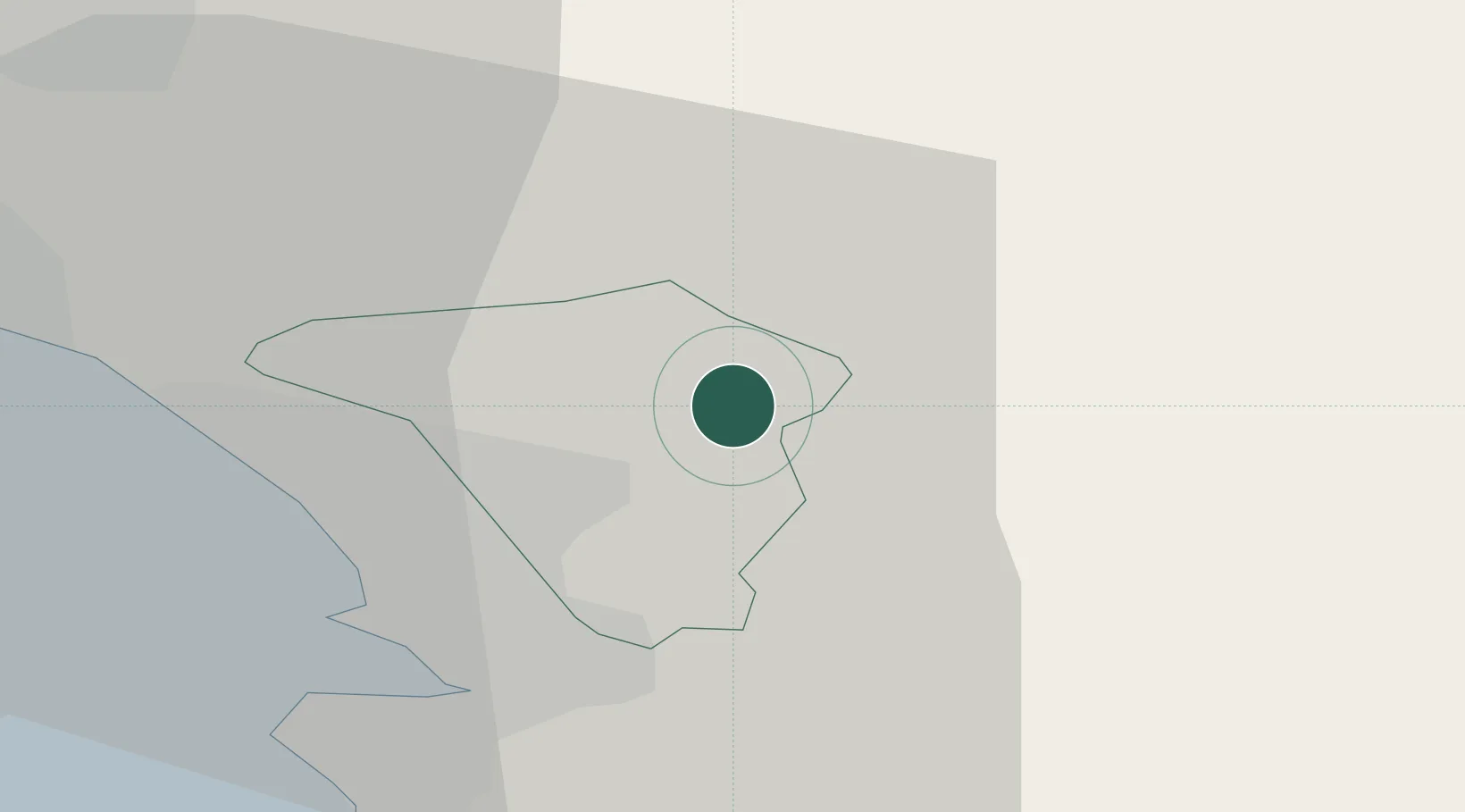
Hub Profile
Place type
Populated place
Region
Sežana
Population
49
Time zone
Europe/Ljubljana
Elevation
412 m
Location
Nearby Logistics Neighbours
Cities
- 1Podnanos5 km
- 2Senozece9 km
- 3Vremski Britof13 km
- 4San Dorligo della Valle17 km
- 5Dolnja Kosana18 km
Ports
- 1Trieste18 km
- 2Muggia21 km
- 3Koper27 km
- 4Monfalcone30 km
- 5Piran37 km
Airports
- 1Trieste Airport37 km
- 2Portorož Airport40 km
- 3Ljubljana Jože Pučnik Airport66 km
- 4Udine-Rivolto Air Base73 km
- 5Rijeka Airport77 km
Trade Zones
- 1Free Port of Trieste18 km
- 2Free Zone Kukuljanovo64 km
- 3Port of Rijeka Free Zone67 km
- 4Port of Pula Free Zone99 km
- 5Free Port of Venice131 km
DatabookThe Record of Consolidated Knowledge
Slovenia beyond logistics?