Transport Functions
Multimodal
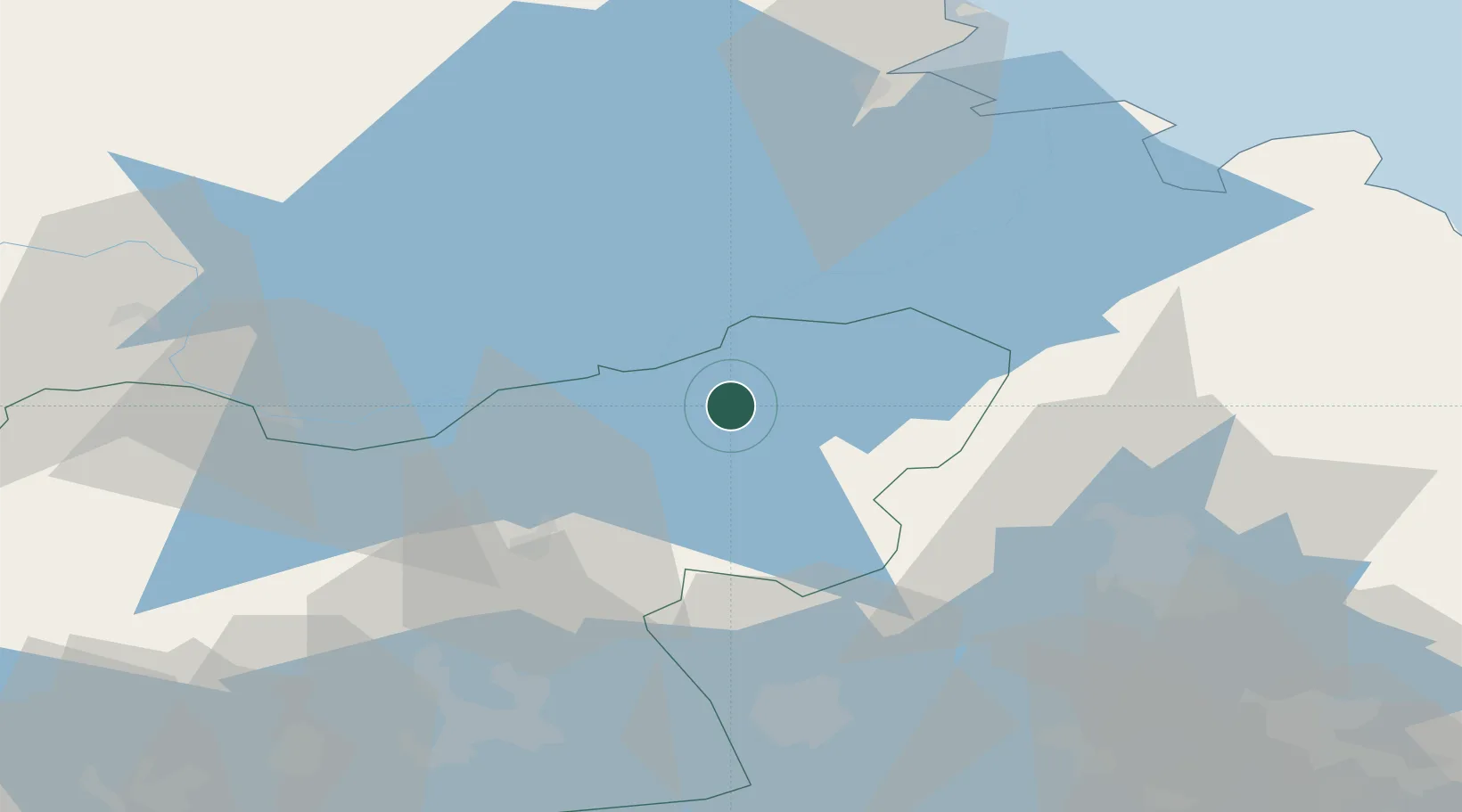
Hub Profile
Region
U
Location
Nearby Logistics Neighbours
Cities
- 1Möklinta23 km
- 2Morgongåva24 km
- 3Heby24 km
- 4Tobo40 km
- 5Uppsala50 km
Airports
- 1Gävle Sandviken Airport49 km
- 2Stockholm Västerås Airport65 km
- 3Stockholm-Arlanda Airport79 km
- 4Dala Airport84 km
- 5Eskilstuna Airport90 km
Trade Zones
- 1Stockholm Free Zone111 km
- 2Turku Free Zone293 km
- 3Jönköping Free Zone311 km
- 4Freeport of Hanko333 km
- 5Gothenburg Boundless Customs Warehouse400 km
DatabookThe Record of Consolidated Knowledge
Sweden beyond logistics?