UN/LOCODE hub · Sweden
SESEF

Bellö

57.5833°, 15.3333°
1
Transport functions

Transport Functions

Multimodal
UN/LOCODE

Hub Profile

Region
F
GeoNames

Location

Location of SESEF
Natural Earth 10m (public domain) · F · SESEF · 57.58, 15.33GoogleOSMYandex

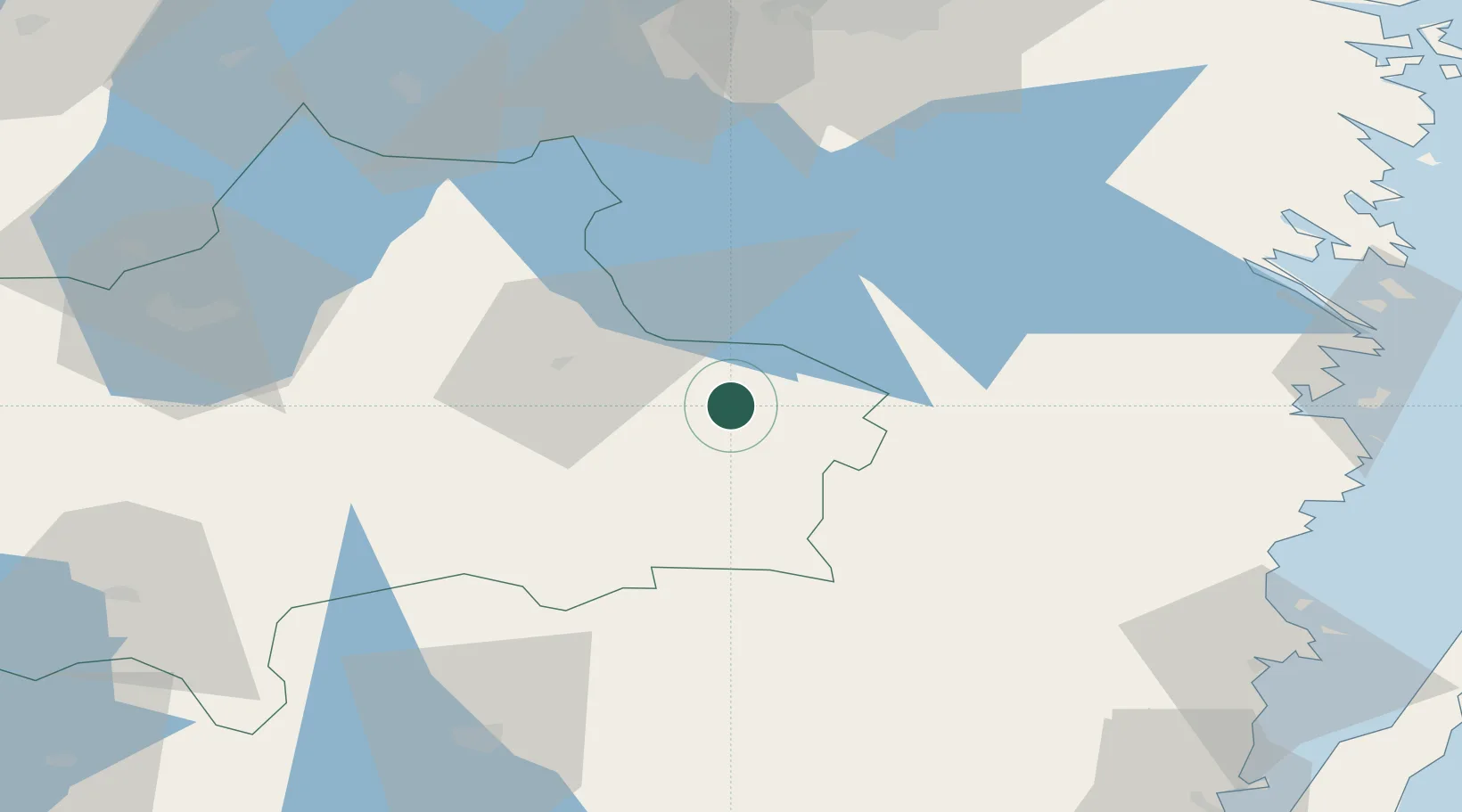
Nearby Logistics Neighbours

Cities
  1. 1Hjältevad6 km
  2. 2Rumskulla18 km
  3. 3Norrhult32 km
  4. 4Målilla36 km
  5. 5Flisby39 km
Nearest neighbours — logibook spatial index (haversine) over the source coordinates
Ports
  1. 1Verkeback73 km
  2. 2Figeholm74 km
  3. 3Oskarshamn76 km
  4. 4Vastervik81 km
  5. 5Stora Jatterson92 km
Nearest neighbours — logibook spatial index (haversine) over the source coordinates
Airports
  1. 1Jönköping Airport78 km
  2. 2Växjö Kronoberg Airport81 km
  3. 3Malmen Air Base91 km
  4. 4Linköping City Airport94 km
  5. 5Kalmar Airport115 km
Nearest neighbours — logibook spatial index (haversine) over the source coordinates
Trade Zones
  1. 1Jönköping Free Zone77 km
  2. 2Gothenburg Boundless Customs Warehouse210 km
  3. 3Stockholm Free Zone254 km
  4. 4MTS Malmö Transport and Spedition259 km
  5. 5Freeport of Copenhagen- Nordhavn267 km
Nearest neighbours — logibook spatial index (haversine) over the source coordinates
DatabookThe Record of Consolidated Knowledge
Sweden beyond logistics?
Browse databook

All Sources

LocationsUN/LOCODE
UN/LOCODE — free
Portsthe NGA World Port Index
Public domain (US gov)
AirportsOurAirports
Public domain
Trade Zonesthe World Bank SEZ database
CC BY 4.0
Trade ZonesOpen Zone Map
CC BY
← Sweden locations