UN/LOCODE hub · Sweden
SEGOA

Göta

58.1167°, 12.1333°
3
Transport functions

Transport Functions

Port
Rail
Road
UN/LOCODE

Hub Profile

Region
O
GeoNames

Location

Location of SEGOA
Natural Earth 10m (public domain) · O · SEGOA · 58.12, 12.13GoogleOSMYandex

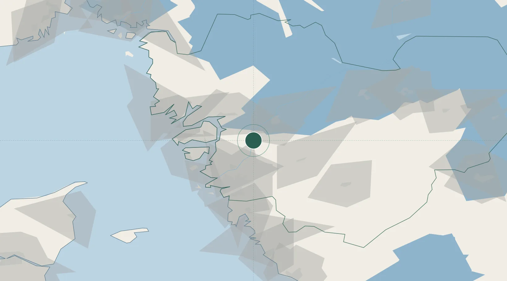
Nearby Logistics Neighbours

Cities
  1. 1Lilla Edet2 km
  2. 2Lödöse9 km
  3. 3Sjuntorp11 km
  4. 4Skepplanda15 km
  5. 5Svanesund18 km
Nearest neighbours — logibook spatial index (haversine) over the source coordinates
Ports
  1. 1Stenungsund20 km
  2. 2Uddevalla29 km
  3. 3Marstrand41 km
  4. 4Lysekil44 km
  5. 5Goteborg47 km
Nearest neighbours — logibook spatial index (haversine) over the source coordinates
Airports
  1. 1Trollhättan-Vänersborg Airport26 km
  2. 2Säve Airport41 km
  3. 3Såtenäs Air Base48 km
  4. 4Göteborg Landvetter Airport51 km
  5. 5Råda Air Base69 km
Nearest neighbours — logibook spatial index (haversine) over the source coordinates
Trade Zones
  1. 1Gothenburg Boundless Customs Warehouse50 km
  2. 2Jönköping Free Zone122 km
  3. 3Freeport of Copenhagen- Nordhavn269 km
  4. 4MTS Malmö Transport and Spedition285 km
  5. 5Stockholm Free Zone371 km
Nearest neighbours — logibook spatial index (haversine) over the source coordinates
DatabookThe Record of Consolidated Knowledge
Sweden beyond logistics?
Browse databook

All Sources

LocationsUN/LOCODE
UN/LOCODE — free
Portsthe NGA World Port Index
Public domain (US gov)
AirportsOurAirports
Public domain
Trade Zonesthe World Bank SEZ database
CC BY 4.0
Trade ZonesOpen Zone Map
CC BY
← Sweden locations