UN/LOCODE hub · Sweden
SEBRO

Brofjorden

58.3500°, 11.3833°
1
Transport functions

Transport Functions

Port
Brofjorden is also a profiled seaport →
UN/LOCODE

Hub Profile

Region
O
GeoNames

Location

Location of SEBRO
Natural Earth 10m (public domain) · O · SEBRO · 58.35, 11.38GoogleOSMYandex

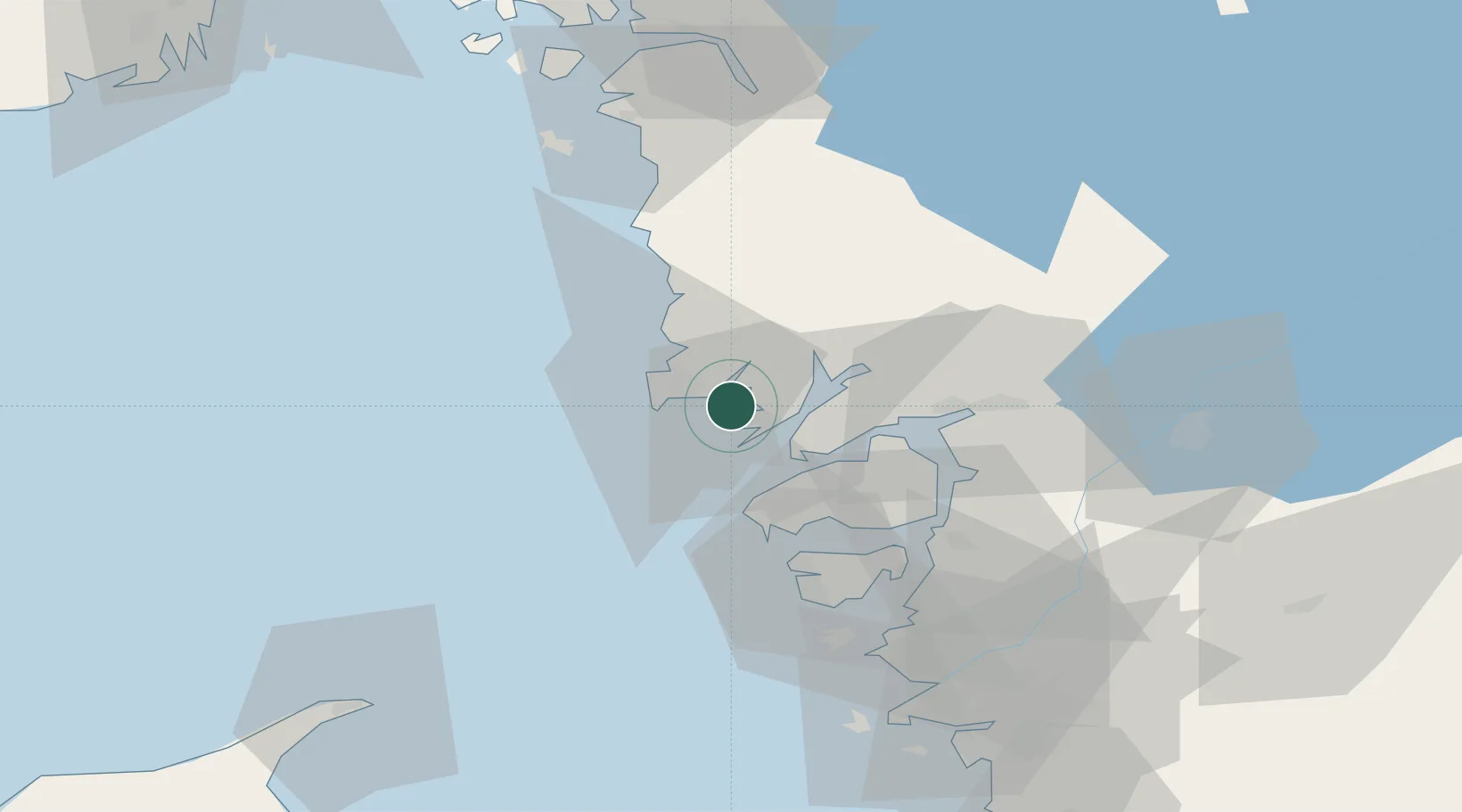
Nearby Logistics Neighbours

Cities
  1. 1Brastad7 km
  2. 2Kungshamn8 km
  3. 3Lysekil8 km
  4. 4Ellös19 km
  5. 5Heestrand19 km
Nearest neighbours — logibook spatial index (haversine) over the source coordinates
Ports
  1. 1Lysekil9 km
  2. 2Hunnebostrand11 km
  3. 3Bovallstrand15 km
  4. 4Fjallbacka29 km
  5. 5Uddevalla29 km
Nearest neighbours — logibook spatial index (haversine) over the source coordinates
Airports
  1. 1Trollhättan-Vänersborg Airport56 km
  2. 2Säve Airport70 km
  3. 3Såtenäs Air Base78 km
  4. 4Göteborg Landvetter Airport93 km
  5. 5Råda Air Base99 km
Nearest neighbours — logibook spatial index (haversine) over the source coordinates
Trade Zones
  1. 1Gothenburg Boundless Customs Warehouse76 km
  2. 2Jönköping Free Zone172 km
  3. 3Freeport of Copenhagen- Nordhavn302 km
  4. 4MTS Malmö Transport and Spedition322 km
  5. 5Stockholm Free Zone402 km
Nearest neighbours — logibook spatial index (haversine) over the source coordinates
DatabookThe Record of Consolidated Knowledge
Sweden beyond logistics?
Browse databook

All Sources

LocationsUN/LOCODE
UN/LOCODE — free
Portsthe NGA World Port Index
Public domain (US gov)
AirportsOurAirports
Public domain
Trade Zonesthe World Bank SEZ database
CC BY 4.0
Trade ZonesOpen Zone Map
CC BY
← Sweden locations