Transport Functions
Rail
Road
Hub Profile
Place type
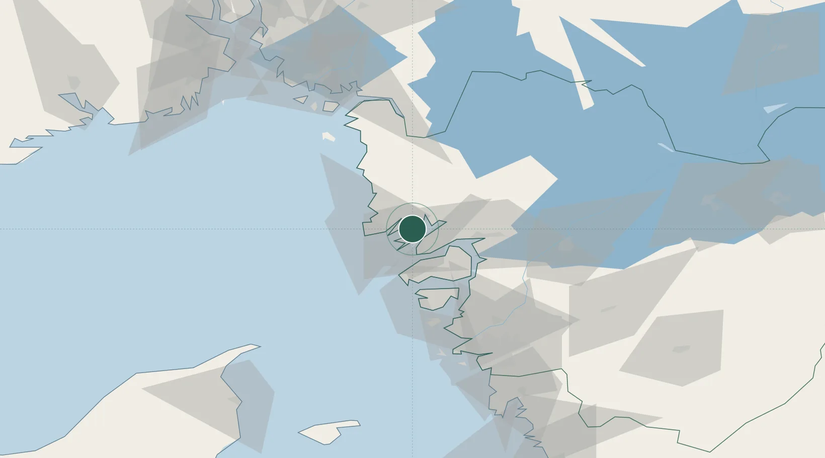
Populated place
Region
Västra Götaland
Population
2,289
Time zone
Europe/Stockholm
Elevation
47 m
Location
Nearby Logistics Neighbours
Cities
- 1Brofjorden7 km
- 2Lysekil12 km
- 3Kungshamn14 km
- 4Dingle17 km
- 5Heestrand19 km
Ports
- 1Brofjorden4 km
- 2Lysekil13 km
- 3Hunnebostrand13 km
- 4Bovallstrand14 km
- 5Uddevalla24 km
Airports
- 1Trollhättan-Vänersborg Airport51 km
- 2Säve Airport71 km
- 3Såtenäs Air Base72 km
- 4Råda Air Base92 km
- 5Göteborg Landvetter Airport93 km
Trade Zones
DatabookThe Record of Consolidated Knowledge
Sweden beyond logistics?